What is recorded here
The following description of this monument is taken from 'The Urban Archaeological Survey of County Limerick' compiled by John Bradley, Andrew Halpin and Heather A. King (Office of Public Works, 1985).
"A view of the bridge in Pacata Hibernia shows six round arches (Westropp 1901-2, 158; 173 and n. 3) and this appears to be substantially the bridge which still survives today crossing the river Deel. It is c. 5Om long and 7.5m wide with parapets (probably modern) c. 1.5m high. It is built of dressed and coursed limestone up to the level of the top of the arches and, above this, of rubble. At present only five arches can be seen on the north. The first, third and fifth from the east have broad segmental arches with dressed limestone voussoirs. The second may have been similar but now has a concrete arch, the fourth is a tall round arch. There are pointed balusters between the first and second and second and third arches on the south."
Compiled by: Denis Power
Date of upload: 26 August 2011
The monument record does not grant public access. Check the route and ask the landowner before entering private land.
- What survives
- Recorded monument
Places near here
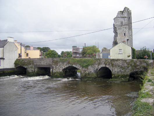 bridgebridge · 6 yd
 Bridge Househouse · 44 yd
 Askeaton CastleHeritage attraction · 61 yd
 AskeatonHistoric town · 61 yd
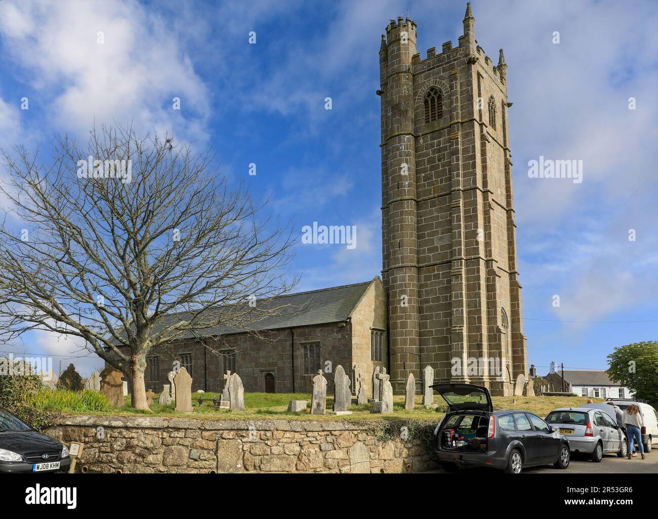 Grave YardGraveyard · 221 yd
 Tomdeely CastleCastle · 1.5 mi
 Holly IslandIslet · 1.8 mi
 Ballynash CastleCastle, unclassified · 1.9 mi
 Greenish IslandIslet · 2.6 mi
 Courtbrown PointHeadland · 2.8 mi
 Herring RockNamed rock · 3.8 mi
 Curraghchase Forest ParkForest · 4.2 mi