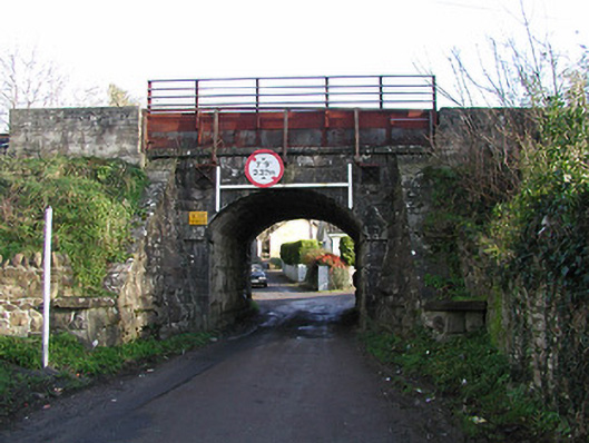
What is recorded here
Single-arch cut-limestone railway bridge over road, opened 1853. Coursed rock-faced cut-limestone walls (including to tapered buttressed abutment walls) with cast-iron tie plates, and cut-limestone coping to parapets supporting replacement steel railings. Single segmental arch with limestone ashlar stringcourse to spring of arch, cut-limestone voussoirs, and squared rubble stone soffits having remains of render over. Sited spanning road with random rubble stone retaining walls to banks having rubble stone coping.
An elegantly-composed bridge representing an important element of the mid nineteenth-century transport heritage of County Kilkenny on account of the associations with the development of the Waterford and Maryborough [Portlaoise] Branch extension of the Great Southern and Western Railway line by the Waterford and Kilkenny Railway Company. Exhibiting the particularly high quality stone masonry associated with such projects the robust rock-faced detailing lends a pleasing textured visual effect to the composition while refined dressings further enhance the aesthetic appeal of the site.
This does not grant access. Most recorded buildings are privately owned; view them only from public ground unless the owner allows entry.
Places near here
 IndicatedPenal Mass station · 117 yd
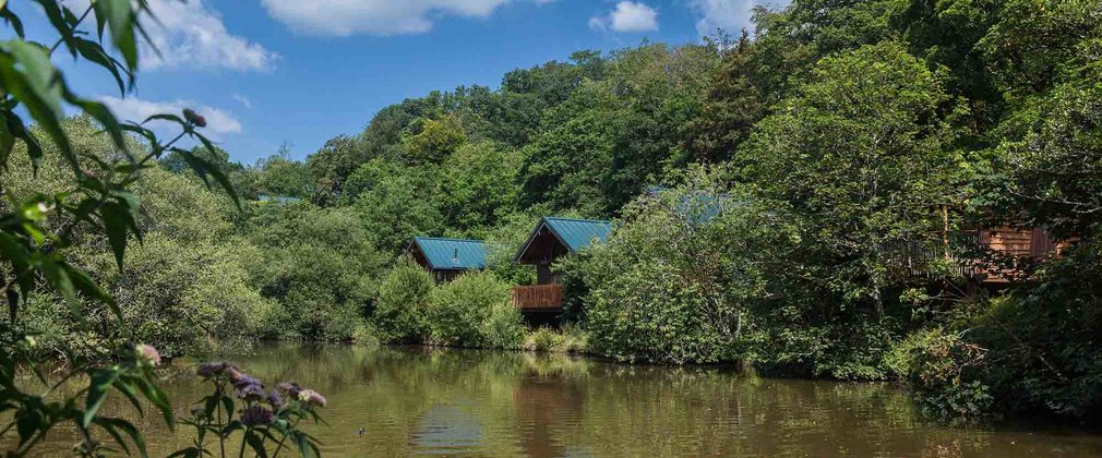 Deerpark Ringfort (rath)Archaeological place · 590 yd
 Mullinavat Railway Stationrailway station · 609 yd
 CastleCastle, unclassified · 1045 yd
 Clonassy WoodForest · 1181 yd
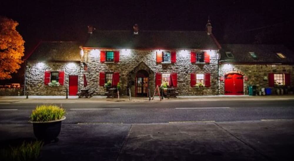 Enclosure in Garrandarragh (knocktopher By.)Enclosure · 1326 yd
 Poulanassy WaterfallWaterfall · 1.1 mi
 Rochestown Castle (Site of)Castle, unclassified · 1.6 mi
 Tory HillMountain / peak · 2.1 mi
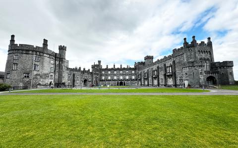 Ballynaboley WoodForest · 3.3 mi
 Portlaw Heritage CentreMuseum · 7.9 mi
 Tower HillMountain / peak · 8.0 mi
Other information
Photo: National Inventory of Architectural Heritage · Website use allowed for educational or private purposes with source credit