What is recorded here
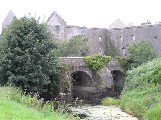
Five-arch road bridge, built c. 1770, having three-arches to section over Camlin River (southeast) and with two arches to northwest end over former millrace associated with Richmond Mill/Distillery (13307011). Possibly extended to northeast end c. 1820. Round-arched arches with dressed voussoirs to arches. Squared rubble limestone piers and spandrels. Squared rubble limestone parapets with concrete coping over. Two rubble stone cutwaters on V-shaped plan to section spanning Camlin River to the south. Located to the northwest of Cloondara.
This notable and well built bridge probably dates to the second half of the eighteenth-century and may have been built at the same time that the adjacent mill was constructed (13307011), c. 1771. Visible from a distance to the east and west, its large arches and massive elongated cutwaters give it a distinctive form. The dressed voussoirs provide textural contrast to the rubble stone piers, parapets and spandrels. The two arches to the northwest end span the former millrace associated with the mill. It is possible that it was altered, c. 1820, to allow barges to dock alongside the mill/distillery (13307011). Interestingly, it is one of three bridges in the town of Cloondara, each of which spans a different waterway.
This does not grant access. Most recorded buildings are privately owned; view them only from public ground unless the owner allows entry.
Places near here
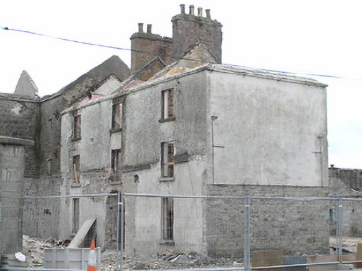 Richmond Millmill manager's house · 49 yd
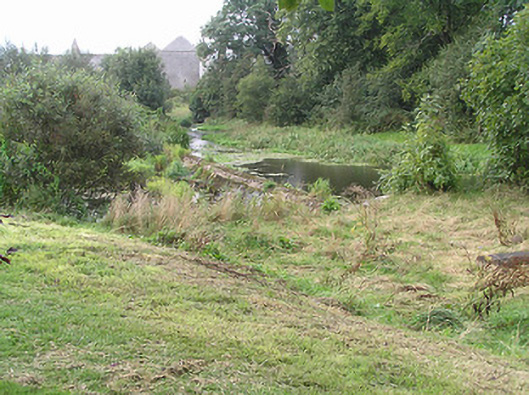 weirweir · 100 yd
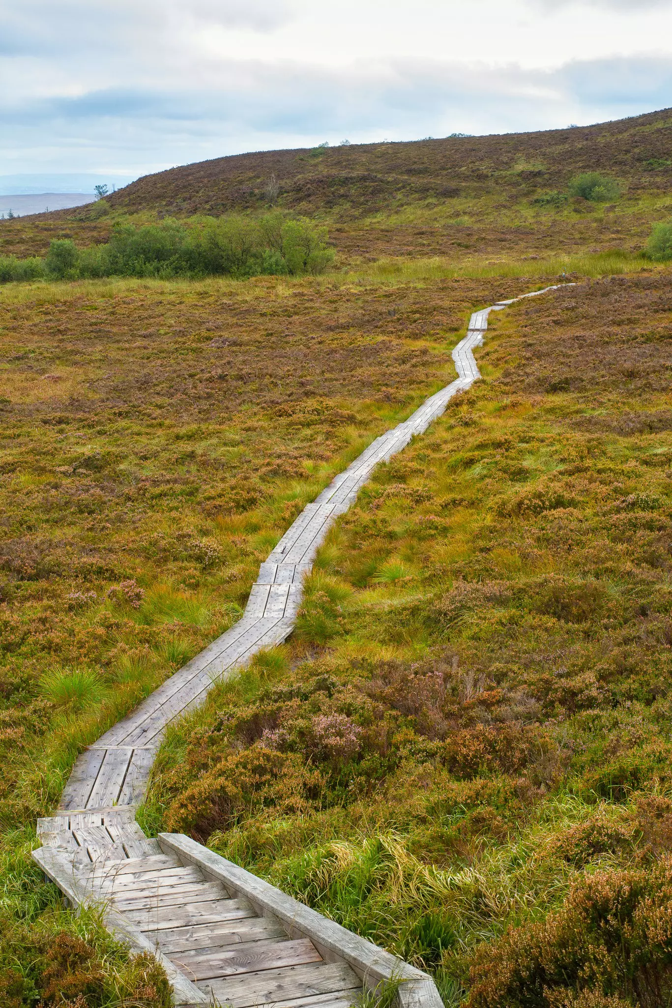 StructureStructure, peatland · 1.3 mi
 PlatformPlatform, peatland · 2.1 mi
 Bawn in AbbeycartronBawn · 4.2 mi
 First World War MemorialMemorial · 4.4 mi
 Saint Mel's CathedralCathedral · 4.5 mi
 Graveyard in Curry (ardagh By., Coolamber Ed)Graveyard · 4.5 mi
 Commons North WalkVisitor information · 5.5 mi
 Wild birdsVisitor information · 5.8 mi
 Ballyclare IslandIslet · 6.2 mi
 White Sand WoodWood · 6.2 mi
Other information
Photo: National Inventory of Architectural Heritage · Website use allowed for educational or private purposes with source credit