What is recorded here
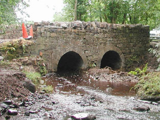
Double-span road-over-river stone bridge, built c. 1800. Roughly-squared uncoursed rubble walling. Round-headed arches, tooled ashlar limestone voussoirs, rubble stone parapets rebuilt c. 1990, as-found stone coping. Macadamed carriageway, concrete footpaths. Crosses north-south over stream, in woodland setting.
A well-built and largely intact traditional bridge with attractive arches visible from the wooded river bank.
- Townland
- CARHA
- Official record
- 32402504
- Location
- Point published by the National Inventory of Architectural Heritage
Other information
Photo: National Inventory of Architectural Heritage · Website use allowed for educational or private purposes with source credit
This official record and map point do not grant access. Most recorded buildings are privately owned; view them only from public ground unless the owner allows entry.
Places near here
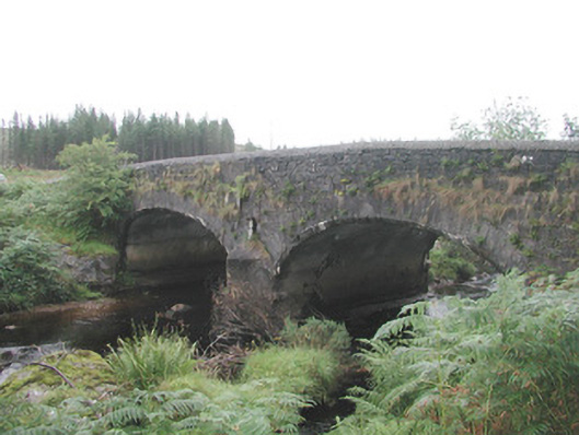 Carha Bridge — CARHA, CARROWREAGH [COOPER]bridge · 762 yd
 Man-made underground passage in CarhaMan-made underground passage · 1137 yd
 Hachured (1838). — CarrowmurrayFairy fort / earthen ringfort · 1.0 mi
 Carrowmore National School — Carrowmore Crossroadsschool · 2.1 mi
 KnocknasheeMountain / peak · 2.2 mi
 CloonaghMountain / peak · 2.8 mi
 The Turf Stack RockNamed rock · 3.7 mi
 Indicated — RathoseyCastle — motte · 3.9 mi
 Castle — unclassified in TullyhughCastle — unclassified · 4.0 mi
 Pigeonpark WoodForest · 4.3 mi
 European ash — St Patricks Well, Co. SligoEuropean ash · 4.3 mi
 White RockNamed rock · 5.2 mi