
What is recorded here
Double-arch slightly humpbacked bridge carrying road over the Behy River, built c. 1800, having modern V-profile concrete cutwaters to central pier. Segmental-headed arches having roughly dressed stone voussoirs; rubble stone construction to arch barrels. Rubble stone construction to pier, abutments, spandrels and parapets; rubble stone coping over parapets. Modern cement pointing in places; modern cement lining to river channel to either side of bridge. Rubble stone wing walls to either end of parapets (north and south). Tarmacadam deck with grass verges; concrete footpath to the east side. Located in the rural countryside to the north-east of Ballyshannon. Possible former fording point to the west side of bridge.
Despite some modern alterations, this rustic slightly humpbacked double-arched road bridge retains much of its early character and form, and is an appealing feature in the scenic landscape to the north-east of Ballyshannon. It is robustly-constructed in local rubble stone masonry, and its continued survival and use stands as testament to the quality of its original construction, and of the skill of the masons involved. This bridge probably originally dates to the early decades of the nineteenth century, a period that saw a great deal of road and bridge-building in Ireland, particularly by the Grand Juries (the forerunners of the County Councils). The modern concrete cutwaters and the lining to the river channel detracts slightly from the visible appeal and setting of this bridge. Cartographic information (Ordnance Survey twenty-five inch map c. 1907) suggests that there was formerly a ford adjacent to the west side of this bridge. This simple bridge is an integral element of the built heritage and transport history of the local area, and is a feature of some aesthetic quality in the local rural landscape.
This does not grant access. Most recorded buildings are privately owned; view them only from public ground unless the owner allows entry.
Places near here
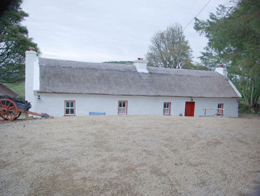 Violet Cottagehouse · 567 yd
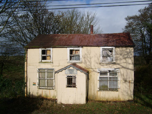 Cashelard Post Officepost office, house · 1261 yd
 Cashelard Fairy Fort near the ChurchFairy fort / earthen ringfort · 1313 yd
 Laheen Fairy FortFairy fort / earthen ringfort · 1.1 mi
 HawthornHawthorn · 1.2 mi
 Castle in ruinsCastle, unclassified · 2.1 mi
 CastleCastle, unclassified · 2.8 mi
 St Anne's Church GraveyardGraveyard · 3.0 mi
 Belleek Pottery MuseumMuseum · 3.3 mi
 Belleek PotteryHeritage attraction · 3.3 mi
 Kilbarron Old Church GraveyardGraveyard · 4.2 mi
 Wardtown StrandBeach / strand · 4.6 mi
Other information
Photo: National Inventory of Architectural Heritage · Website use allowed for educational or private purposes with source credit