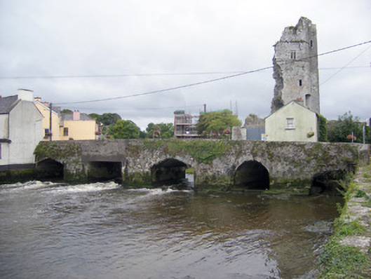
What is recorded here
Five-arch road bridge over the River Deel, built c. 1700, with elliptical-headed, round-headed, pointed arch and square-headed arches. Roughly coursed limestone walls with concrete sections and cut limestone voussoirs to pointed arch, round-headed and elliptical-headed arches. Dressed limestone V-cutwaters to south elevation. Overflow arch to east having round-headed arch with dressed limestone voussoirs.
This bridge spanning the River Deel is a local landmark in Askeaton having links with the Desmond castle and retaining evidence of medieval fabric in its construction. Its asymmetry provides evidence of various phases of reconstruction, from the earliest interventions to the most recent such as the square-headed concrete arch to the east. Despite alterations, the bridge retains well designed and finely executed features such as the V-cutwaters and tooled voussoirs.
This does not grant access. Most recorded buildings are privately owned; view them only from public ground unless the owner allows entry.
Places near here
 Bridge Househouse · 39 yd
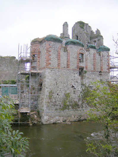 The Hellfire Clubhouse · 58 yd
 Askeaton CastleHeritage attraction · 60 yd
 AskeatonHistoric town · 67 yd
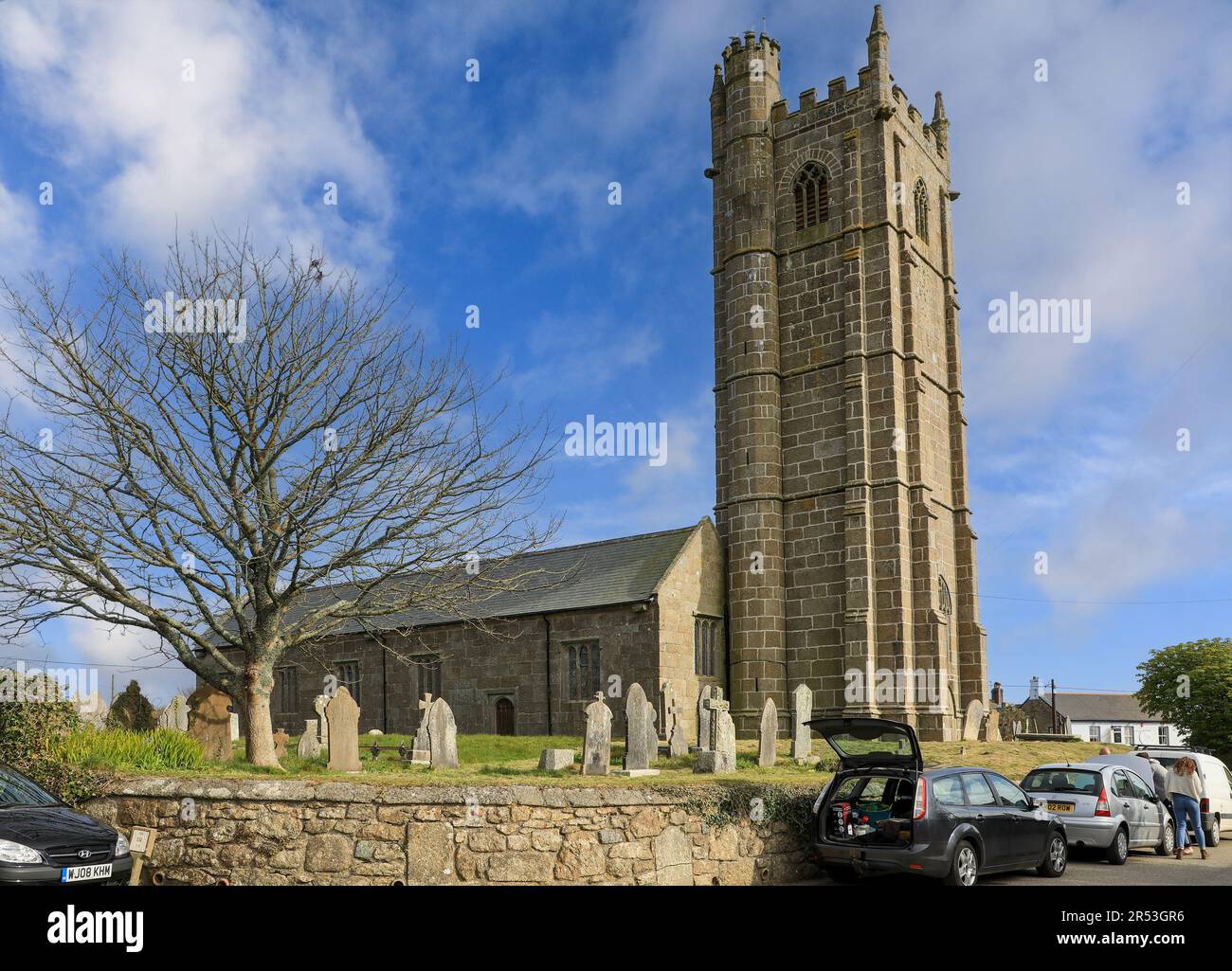 Grave YardGraveyard · 227 yd
 Tomdeely CastleCastle · 1.5 mi
 Holly IslandIslet · 1.8 mi
 Ballynash CastleCastle, unclassified · 1.9 mi
 Greenish IslandIslet · 2.6 mi
 Courtbrown PointHeadland · 2.8 mi
 Herring RockNamed rock · 3.8 mi
 Curraghchase Forest ParkForest · 4.2 mi
Other information
Photo: National Inventory of Architectural Heritage · Website use allowed for educational or private purposes with source credit