What is recorded here
Rocques map (1756) of Dublin depicts 'Old Brick Field' in the central block on Moore Street extending back to Old Brick Field Lane (now Moore Lane) and up to Parnell Street.
See attached section of Rocque's Map showing 'Old Brick Field Lane' which marked parish boundary between St Werburgh's and Marks which is indicated with a red dotted line taken from website https://gallica.bnf.fr/ark:/12148/btv1b530637730/f1.item.r=DUBLIN%20DUBLIN.
Compiled by: Geraldine Stout
Revised by: Caimin O'Brien
Date of revised upload: 15 November 2022
The monument record does not grant public access. Check the route and ask the landowner before entering private land.
- What survives
- Recorded monument
Places near here
 Patrick Conwaypublic house · 12 yd
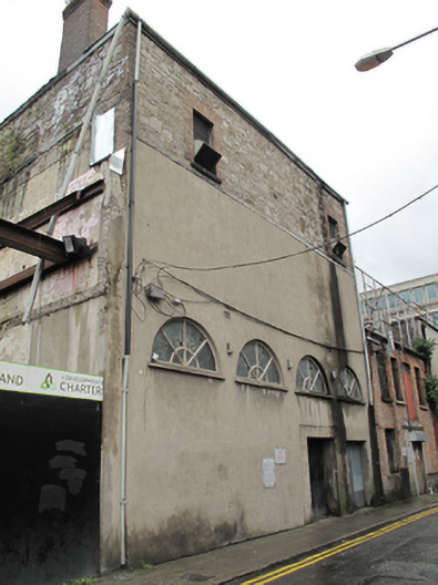 hallhall · 33 yd
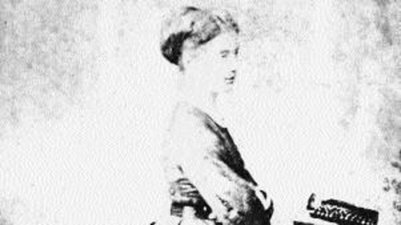 Anna ParnellMemorial · 70 yd
 Dublin LetteringHeritage attraction · 127 yd
 Theobald MathewMonument · 164 yd
 We saw a visionMemorial · 238 yd
 GPO MuseumMuseum · 328 yd
 CúchulainnMonument · 340 yd
 Burial ground in Unknown TownlandBurial ground · 342 yd
 London PlaneLondon Plane · 763 yd
 Burning of the Custom Housearmed conflict · 801 yd
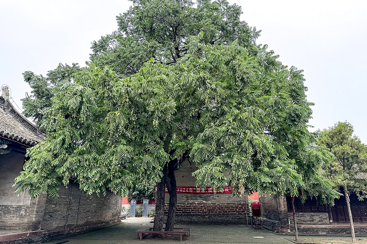 Chinese ToonChinese Toon · 832 yd