What is recorded here
A revenue map dated c. 1694 shows 'Brick Kills' on the shore at Clontarf east of the Sheds (De Courcy 1996, 44). The exact location of these brick kilns is unknown.
The monument record does not grant public access. Check the route and ask the landowner before entering private land.
- What survives
- Recorded monument
Places near here
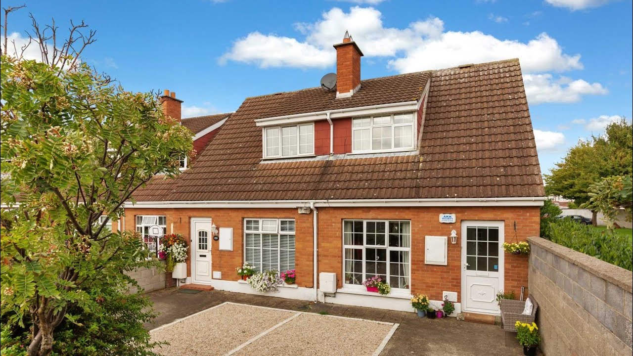 Bawn in Killester Demesne,killester North,killester SouthBawn · 1 yd
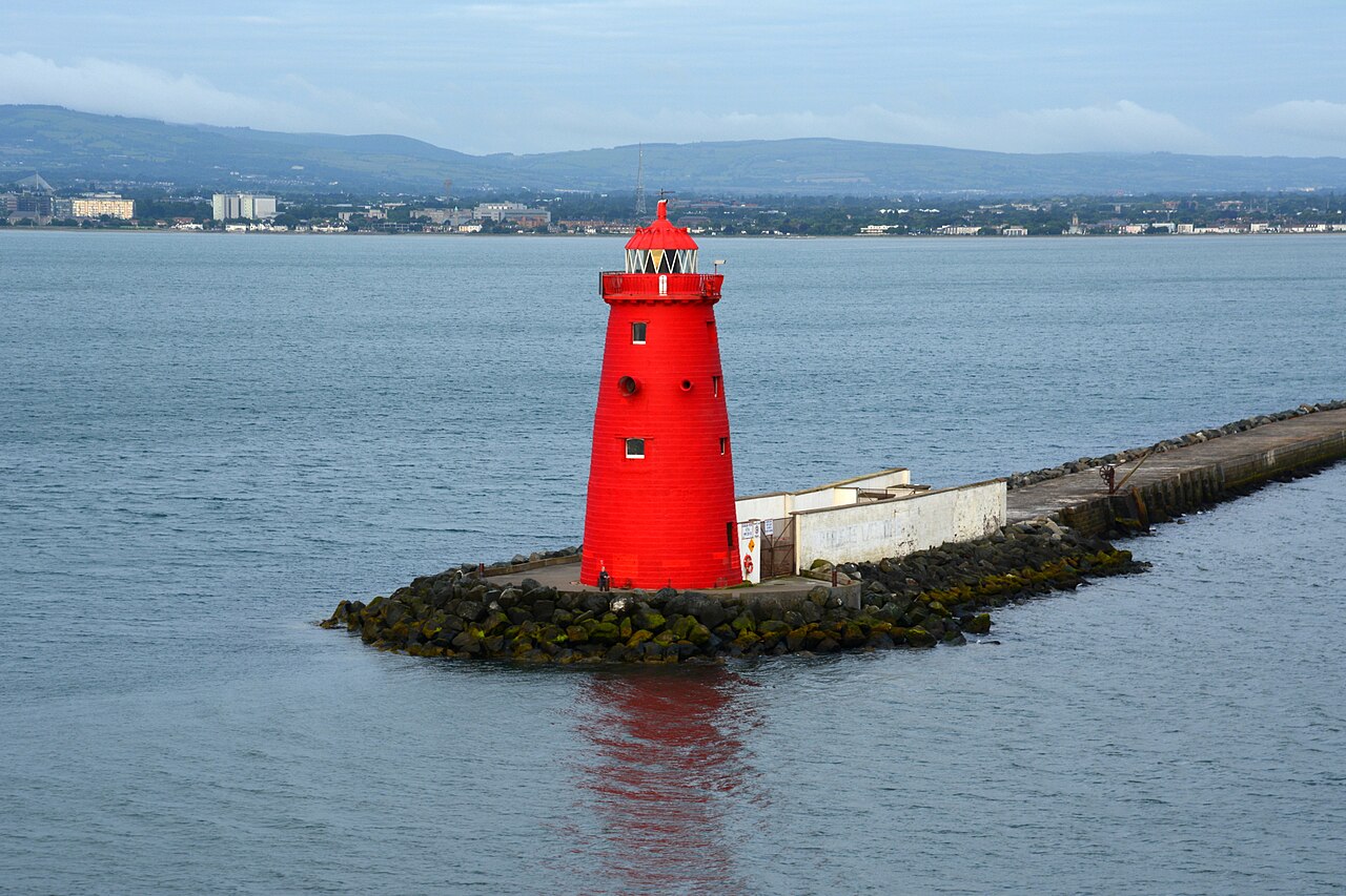 Poolbeg LighthouseLighthouse · 1215 yd
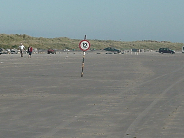 Dollymount StrandBeach / strand · 1.2 mi
 milestone/milepostmilestone/milepost · 1.3 mi
 Bull Wallbuilding misc · 1.5 mi
 Wych ElmWych Elm · 1.7 mi
 Rustic ArchesMonument · 1.8 mi
 Rockwork FeatureMonument · 1.8 mi
 Hermit's CaveMonument · 1.9 mi
 Bull Island Nature ReserveVisitor information · 1.9 mi
 Holm OakHolm Oak · 1.9 mi
 St Josephs Asylum for the BlindCastle, unclassified · 4.5 mi