What is recorded here
The OS 25-inch map depicts a rectangular feature (50m x 40m) which is titled "Brick Field". This feature is not depicted on the 1840 six-inch OS map and is therefore probably late-19th century in date.
Compiled by: Denis Power
Date of upload: 26 February 2013
The monument record does not grant public access. Check the route and ask the landowner before entering private land.
- What survives
- Recorded monument
Places near here
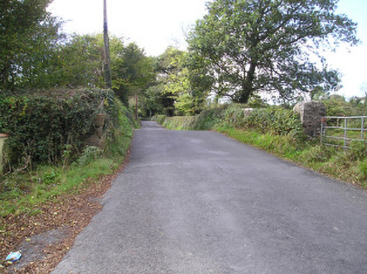 Meelick Bridgebridge · 1011 yd
 Hachured - IndicatedFairy fort / earthen ringfort · 1150 yd
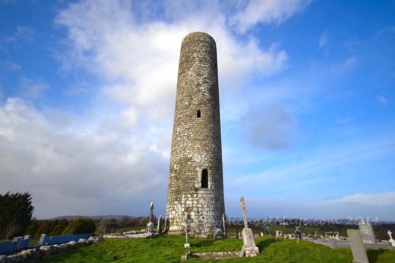 Enclosure in Meelick (bunratty Lower By.)Enclosure · 1411 yd
 Coreen Castle (in ruins)Castle, unclassified · 1.1 mi
 Catholic Church of Saint John the Baptistchurch/chapel · 1.3 mi
 Coonagh NatureNature reserve · 1.4 mi
 Muckinish PointHeadland · 1.5 mi
 Cratloe Castle (in Ruins)Castle, tower house · 1.5 mi
 Sailors HaggardMemorial · 2.5 mi
 Cratloe WoodsForest · 2.7 mi
 St James's WellSpring · 2.7 mi
 Ardnacrusha ToursMuseum · 3.6 mi