What is recorded here
In pasture, located on the gentle S–facing slope of a ridge. There are excellent views to S but rising ground restricts views northward. Low circular platform (diam. c. 36m) defined by a scarp (H 0.55m), outside which it is enclosed by a fosse (Wth 2.2m) with an external bank (Wth c. 3.2m at N, c. 5m at S; int. H 1.5m at N, 0.7m at S; ext. H 0.2m at N, 1.6m at S). The rath appears to be built up on its S half to compensate for the natural slope, and the external bank has a markedly broad, external slump on its downslope S side. A large part of the rath interior has been quarried out. A crescent-shaped strip (Wth c. 9m NE−SW) remains intact at NW–E, but elsewhere the interior is reduced to a stone-strewn area of pits and hollows, interspersed with mounds of quarry material. A concentration of large stones and prostrate slabs are scattered in the SW quadrant. The fosse is partly filled with quarry material and field clearance debris, and a section of the external bank is partly levelled or truncated at SW–NW. The rath entrance may have been to SE where there may be a causeway across the fosse, but dumps of displaced material make it difficult to confirm this.
In pasture, located on the gentle S–facing slope of a ridge. There are excellent views to S but rising ground restricts views northward. Low circular platform (diam. c. 36m) defined by a scarp (H 0.55m), outside which it is enclosed by a fosse (Wth 2.2m) with an external bank (Wth c. 3.2m at N, c. 5m at S; int. H 1.5m at N, 0.7m at S; ext. H 0.2m at N, 1.6m at S). The rath appears to be built up on its S half to…
From the National Monuments Service (Archaeological Survey of Ireland) record MA092-021
The monument record does not grant public access. Check the route and ask the landowner before entering private land.
- What survives
- Recorded monument
Places near here
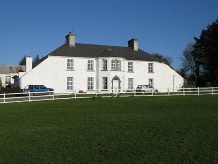 Ballyhowly HouseFarm house · 960 yd
 Knock ShrineHeritage attraction · 1167 yd
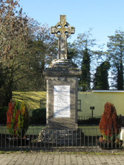 1798 MonumentMonument · 1398 yd
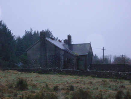 Shanvaghera National SchoolSchool · 2.9 mi
 Grave YardGraveyard · 5.5 mi
 Sycamore13 mi
 Cloonagashel CastleCastle · 13 mi
_-_geograph.org.uk_-_5829303.jpg/250px-Castles_of_Connacht,_Fartamore,_Galway_(1)_-_geograph.org.uk_-_5829303.jpg "Photo: Mike Searle, Wikimedia Commons · CC BY-SA 2.0") Fartamore Castle (ruins)Castle · 14 mi
Fartamore Castle (ruins)Castle · 14 mi European ash17 mi
 Cloigtheach (Round Tower)Round tower · 17 mi
 Ashford castleViewpoint · 23 mi
 Caves of KeshCave · 27 mi
Pictures: National Inventory of Architectural Heritage; Paul Cowan, Wikimedia Commons · CC BY-SA 2.0; David Purchase, Geograph · Creative Commons Attribution-ShareAlike 2.0; Christian Pirkl, Wikimedia Commons · CC BY-SA 3.0 at; Mike Searle, Wikimedia Commons · CC BY-SA 2.0; Willow, Wikimedia Commons · CC BY 2.5; Andreas F. Borchert, Wikimedia Commons · CC BY-SA 4.0; C Michael Hogan, Geograph · CC BY-SA 2.0; Jon Sullivan, Wikimedia Commons · CC0
More archaeology and monuments in County Mayo · All of County Mayo
What do you know about this place?