What is recorded here
From OpenStreetMap (© OpenStreetMap contributors) w902126667
Places near here
Photo credits
- Andy Farrington, Wikimedia Commons · CC BY-SA 2.0
- Oliver Dixon, Wikimedia Commons · CC BY-SA 2.0
- M J Richardson, Wikimedia Commons · CC BY-SA 2.0
- Maker not stated on source page, www.dreamstime.com
- Darrin Antrobus, Wikimedia Commons · CC BY-SA 2.0
- Peter Wood, Wikimedia Commons · CC BY-SA 2.0
- Iain Thompson, Wikimedia Commons · CC BY-SA 2.0
- Billy McCrorie, Wikimedia Commons · CC BY-SA 2.0
 BraehillFort (prehistoric), Settlement (iron Age) (possible) · 68 yd
Explorer Tom Braehill is a prehistoric fort with a possible Iron Age settlement, which means it’s guarding something that is…
 StenriesFarmhouse, Farmstead · 897 yd
Explorer Tom Stenries is recorded as a farmhouse and farmstead in Cummertrees, a name that sounds as though the trees have appointed…
 TopmuirFarmstead · 1491 yd
Explorer Tom Topmuir is a farmstead with no assigned period, which basically means it’s been there since before we started keeping…
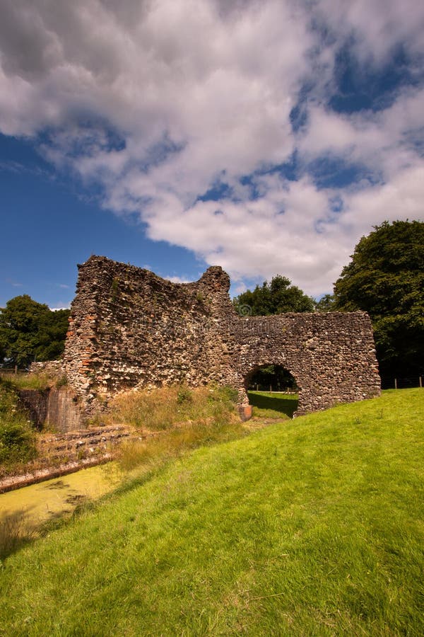 Moss CastleCastle (medieval) (possible) · 1640 yd
Explorer Tom Moss Castle is so unsure if it’s even real that it has '(possible)' stamped on its forehead like a shy introvert. It…
 Kinmount House, Upper MainsFarmhouse, Farmstead · 1.1 mi
Explorer Tom Kinmount House Upper Mains in Dumfries and Galloway was built on a bargain where someone traded a horse for a plot of…
 KirkstyleFarmhouse, Farmstead · 1.1 mi
Explorer Tom Kirkstyle in Dumfries and Galloway has very strong opinions on modern buildings, mostly that they look like giant…
 Denbie MainsFarmstead, Farmstead · 1.3 mi
Explorer Tom Denbie Mains is claimed by a local who says he invented the concept of 'mains' in the first place. It’s a farmstead…
 Hayberry MillWatermill · 1.4 mi
Explorer Tom Hayberry Mill would write 'Looking for someone with good flow' on its dating profile. It’s an unassigned watermill that…
 MaulscastleFarmstead · 1.5 mi
Explorer Tom Maulscastle is a farmstead with no idea when it was built, which is rude for a home. It claims to be the shortcut that…
 Kelhead WoodWood · 1.5 mi
 War MemorialMemorial · 2.2 mi
 Quarry Park WoodWood · 2.3 mi
More woods, forests and old trees in Dumfries and Galloway · All of Dumfries and Galloway

What do you know about this place?Tap to add a comment or ask a question