What is recorded here
Situated atop a rise of ground with good views in all directions, especially to the NE -NW where it looks towards Black Mountain and Slieve Gullion. This round topped granite boulder is located beside the townland boundary of Redcow and near the meeting point of two other townland boundaries of Ballynahattin and Dowdallshill. This boulder appears to be located in the centre of a prehistoric landscape with the cropmark of a circular enclosure (LH007-013----) 220m to the W, and 570m to the NW are the remains of a Bronze Age flat cemetery (LH004-134001/002), while the ceremonial enclosure (LH007-012) or 'Druid's Temple' as illustrated by Wright in Louthiana appears to have been located 1km to the SW in the townland of Carn Beg. An excavated prehistoric habitation site (LH004-136) is located approx. 875m to the NE. This stone has all the appearance of a natural granite boulder (H 1.3m; Wth 1.2m; T 0.8-1.2m) with its broad faces orienated on a N-S axis and does not appear to have been carved or shaped into a standing stone as it does not display any of the characteristic features of a typical standing stone. The boulder does not appear to have been set into a socket and unlike a boulder burial there is no evidence that this boulder is resting on top of pad stones covering a burial chamber. It is possible that this natural boulder was a focus for prehistoric settlement and ritual in the area and that its modern location near three townland boundaries echoes a prehistoric boundary location.
Compiled by: Caimin O'Brien
Date of upload: 8 December 2011
The monument record does not grant public access. Check the route and ask the landowner before entering private land.
- What survives
- Recorded monument
Places near here
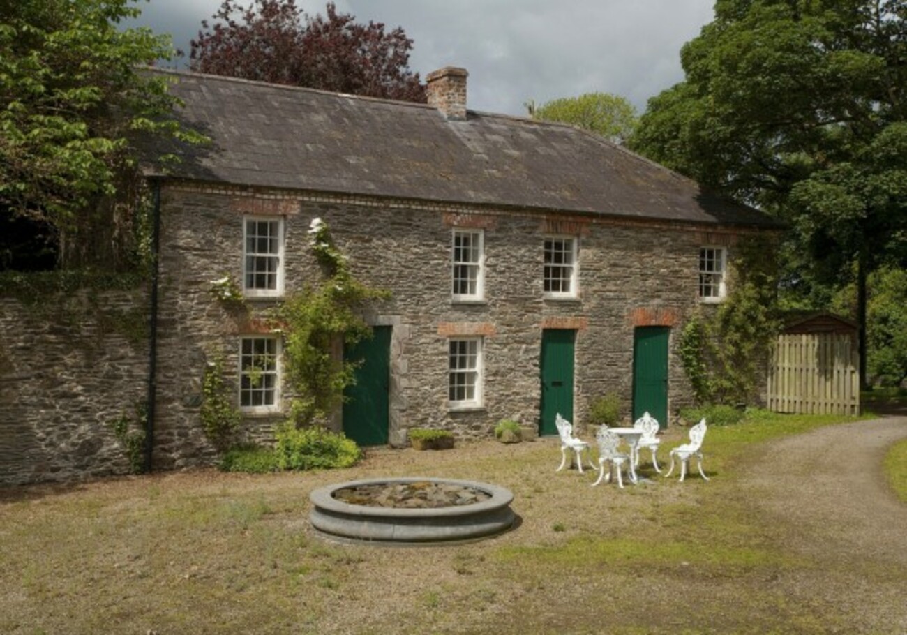 Enclosure in RedcowEnclosure · 232 yd
 Enclosure in Faughart LowerEnclosure · 1043 yd
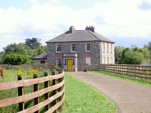 Mount Saint Franceshouse · 1516 yd
 Battle of FaughartMajor battlefield · 1553 yd
 KilnKiln, corn-drying · 1736 yd
 Raskeagh FortCastle, motte and bailey · 1.6 mi
 CastleCastle, tower house · 1.8 mi
 Louth County MuseumMuseum · 1.9 mi
 Maid of ErinMemorial · 1.9 mi
 Bombing 1975Memorial · 1.9 mi
 Proleek DolmenArchaeological place · 1.9 mi
 MonascreebeMountain / peak · 2.0 mi