What is recorded here
This record was listed as 'Mound' in the SMR (1990) and the RMP (1997). This is one of a group of four such mounds (see KE031-005----; KE031-006----; KE031-008----) marked on the 1898 OS 6-inch map (it is not on the 1st edition map). The likelihood is that these are boundary mounds and as such are not archaeological monuments.
Compiled by: Matt Kelleher
Date of upload: 06 December 2011
The monument record does not grant public access. Check the route and ask the landowner before entering private land.
- What survives
- Recorded monument
Places near here
 KnockateeMountain / peak · 1.3 mi
 Enclosure in BallinardEnclosure · 2.1 mi
 Burnt spread in Kilmurry (trughanacmy By.)Burnt spread · 2.2 mi
 Mount EagleMountain / peak · 2.4 mi
 Kilmurry CastleCastle · 2.9 mi
 Quarry in GlanlarehanQuarry · 2.9 mi
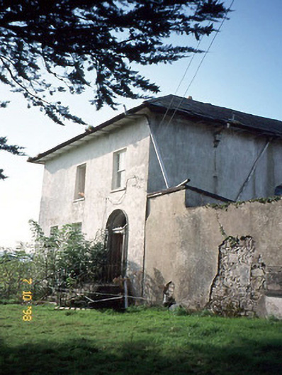 Kilmurry Househouse · 3.0 mi
 Ardnacreach CastleCastle · 3.5 mi
 Crag CaveCave · 4.1 mi
 Three CountiesPicnic place · 6.1 mi
 Barna BogForest · 8.3 mi
 Kilflynn Nature ReserveNature reserve · 13 mi