What is recorded here
Named ‘Mound’ on the 1920 OS 6-inch map, there are in fact four heather-covered stony mounds (max. H 1.5m; av. diam. 4-5m) at this location marking the boundary with county Galway (see GA134-033----). The mounds appear to be relatively modern and are not indicated on the 1840 OS 6-inch map.
Compiled by: Mary Tunney
Date of upload: 9 August 2016
The monument record does not grant public access. Check the route and ask the landowner before entering private land.
- What survives
- Recorded monument
Places near here
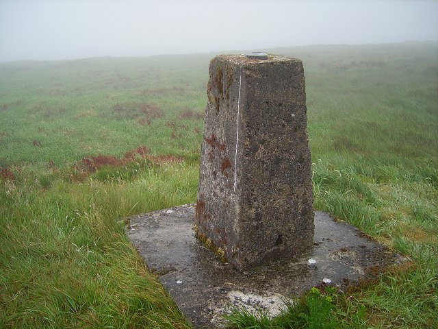 Cappaghabaun Mountain EastMountain / peak · 1428 yd
 TullymoreMountain / peak · 2.4 mi
 Enclosure in Kilrateera UpperEnclosure · 2.4 mi
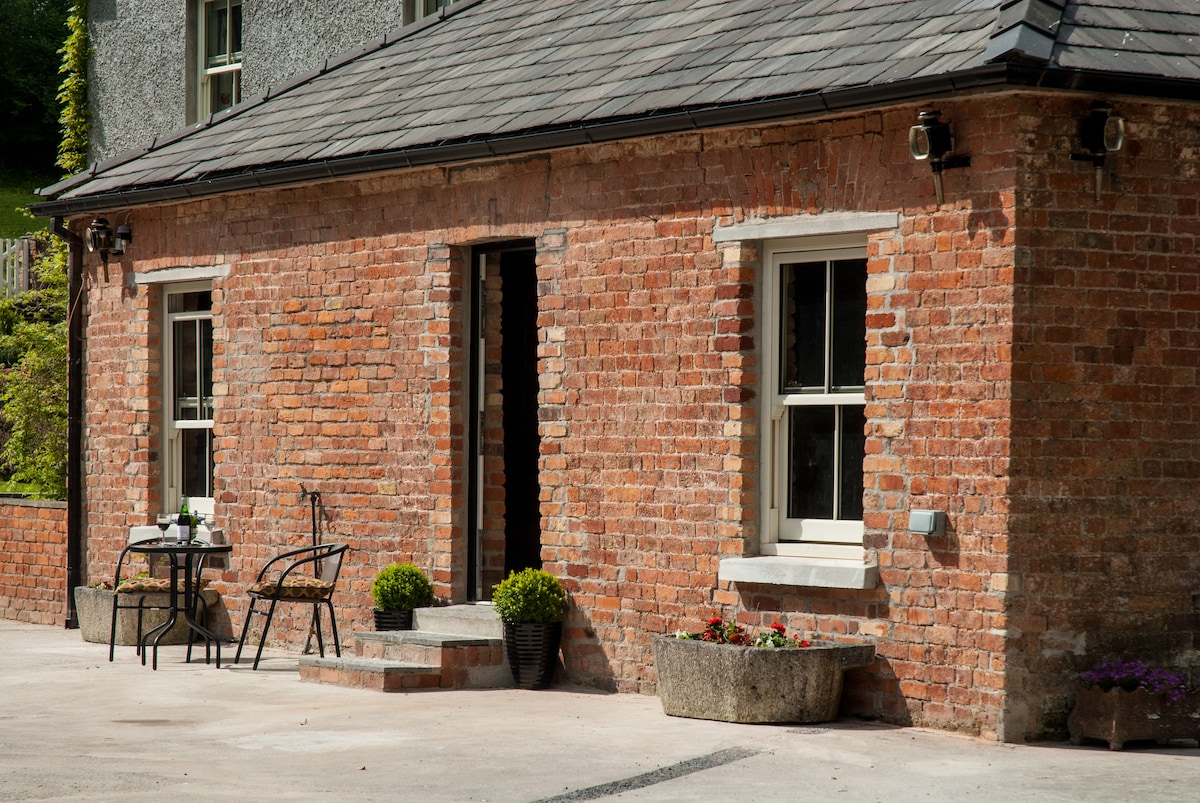 Enclosure in BallyhinchEnclosure · 2.8 mi
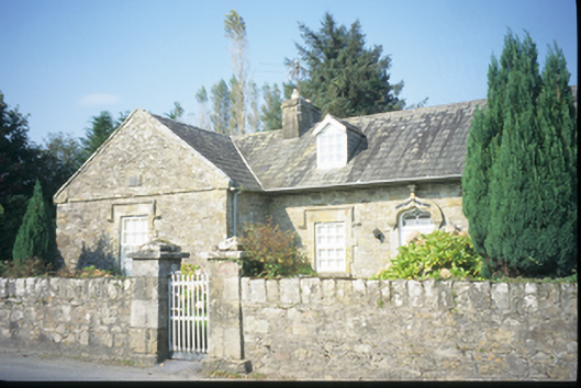 The Old School Houseschool · 3.5 mi
 Loughatorick National Schoolschool · 3.6 mi
 Pedunculate OakPedunculate Oak · 3.7 mi
 The MazeHeritage attraction · 3.8 mi
 Maguire SistersMemorial · 4.2 mi
 Cloonoolia BayBay · 4.3 mi
 Inishcaltra or Holy IslandIslet · 4.6 mi
 Gorteeny IslandIslet · 5.0 mi