What is recorded here
Map note: The map marks Boundary Ash Belt as a wood near Bourton-on-the-Hill, Cotswold, England. The map knows where the place is, even if the scenery is staying quiet.
From OpenStreetMap (© OpenStreetMap contributors) w955287316
Places near here
Photo credits
- Jennifer Luther Thomas, Wikimedia Commons · CC BY-SA 2.0
- Chris Gunns, Wikimedia Commons · CC BY-SA 2.0
- Philip Halling, Wikimedia Commons · CC BY-SA 2.0
- Michael Dibb, Wikimedia Commons · CC BY-SA 2.0
- Maximilian Dörrbecker ( Chumwa ), Wikimedia Commons · CC BY-SA 3.0
- Mike Baldwin, Wikimedia Commons · CC BY-SA 2.0
- Dennis Turner, Wikimedia Commons · CC BY-SA 2.0
- Clint Mann, Wikimedia Commons · CC BY-SA 2.0
- Keith Williams, Wikimedia Commons · CC BY-SA 2.0
- Bill Boaden, Wikimedia Commons · CC BY-SA 2.0
 Sezincote BrakeWood · 656 yd
 Temple to Surya and Circular Pool in Gardens of Sezincote HouseListed building · 1062 yd
 The Orangery, Sezincote HouseListed building · 1119 yd
 Ancient burial moundAncient burial place · 1509 yd
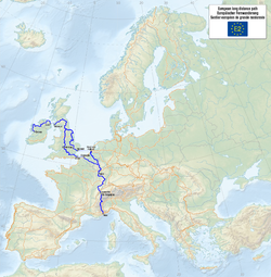 European walking route E2 west, UK, South West EnglandWalking route · 1.3 mi
 Tithe barnScheduled monument · 1.3 mi
 Foot of the HillMountain or hill · 1.4 mi
 Bourton WoodsWood · 1.5 mi
 The Hermit's Cave at Batsford ArboretumCave or cavern · 1.9 miHermits CaveCave · 1.9 mi
 Cotswold Falconry CentreVisitor information · 2.0 mi
 Battle of Stow (-on-the-Wold) 1646Registered battlefield · 2.2 mi
More woods, forests and old trees in Cotswold · All of Cotswold

What do you know about this place?Tap to add a comment or ask a question