What is recorded here
The official Northern Ireland record identifies this as Booley Hut. Recorded period: UNCERTAIN. The official map point was placed at the centre of the recorded archaeological site from the source map reference.
The monument record does not grant public access. Check the route and ask the landowner before entering private land.
- What survives
- Recorded monument
Places near here
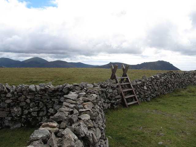 Slieve MuckMountain / peak · 762 yd
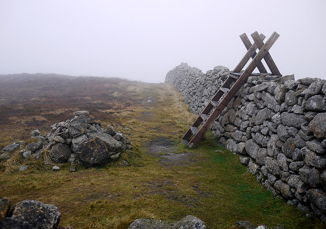 Carn MountainMountain / peak · 1413 yd
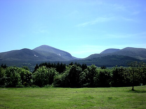 Mourne MountainsMountain range · 1515 yd
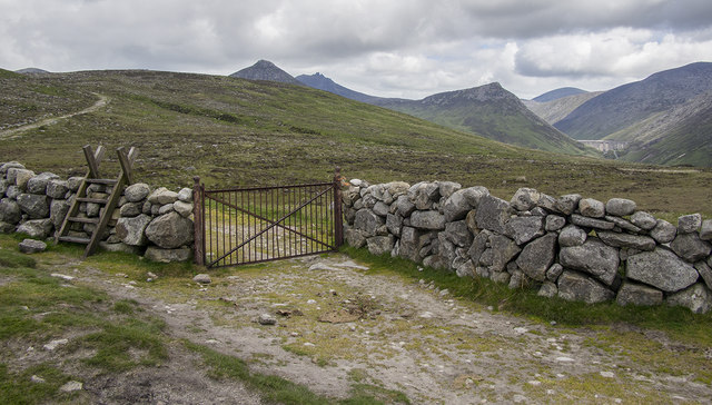 Lough ShannaghWalking route · 1.3 mi
 Pigeon RockCliff · 1.4 mi
 Cock, Hen, PigeonWalking route · 1.7 mi
 CROSS-CARVED BOULDER in BallyaughianCROSS-CARVED BOULDER · 1.9 mi
 Crocknafeola WoodForest · 2.1 mi
 Little Cock TorCliff · 2.2 mi
 Tower on Slieve MeelmoreHistoric building · 2.8 mi
 NATURAL FEATURE: PIERCE'S CASTLE in LeitrimNATURAL FEATURE: PIERCE'S CASTLE · 2.8 mi
 Sandbank Road Picnic AreaPicnic place · 3.0 mi