What is recorded here
At the base of Binn Guaire/Diamond Hill, to the E of Letterfrack. Recorded by M. Gibbons, this roughly rectangular hut (3.6m NE-SW; 1.5-2.6m NW-SE) opens to the NE and is defined by a stone wall (H 1.1-1.5m) that incorporates two large boulders in its make-up along the SE side. A short section of walling (L 2.4m; Wth 1.3m; H 0.6m), also incorporating a large boulder, abuts it at NW. The location of the hut on the drier side of the mountain suggests that it is most likely a booley hut. A second possible hut may survive c. 100m to the E but, due to the dense growth of rhododendron, this is not certain. The hut may have been used during the War of Independence (information from M. Madden).
The following image has been uploaded, courtesy of M. Gibbons, GA049-033----.pdf View from NE
Compiled by: Olive Alcock with information provided by M. Gibbons
Date of upload: 8 May 2023
The monument record does not grant public access. Check the route and ask the landowner before entering private land.
- What survives
- Recorded monument
Places near here
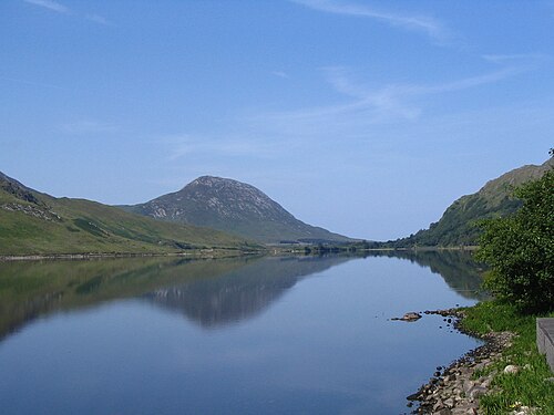 Binn GhuaireMountain / peak · 698 yd
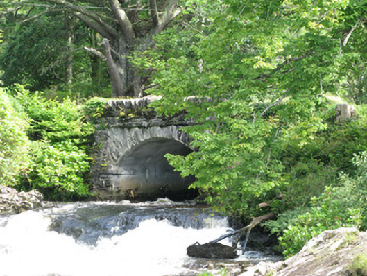 Tullywee Bridgebridge · 994 yd
 Hut site in Addergoole (ballynahinch By.)Hut site · 1266 yd
 Cabbage treeCabbage tree · 1449 yd
 Kylemore Abbeywalled garden · 1472 yd
 Enclosure in Knockbrack (ballynahinch By.)Enclosure · 1519 yd
 Connemara National ParkNational park · 1.1 mi
 Monterey PineMonterey Pine · 1.2 mi
 Cnoc BreacMountain / peak · 1.4 mi
 Doughruagh South TopMountain / peak · 1.7 mi
 RoeillaunIslet · 3.1 mi
 Lettergesh BeachBeach / strand · 3.8 mi