What is recorded here
Two hut sites situated on low ground beside the Cloghoge Brook in an area of elevated heath land. Hut A (WI011-002----) is 4m N-S x 2m E-W (internally) and defined by a sod bank (Wth 1.2m; H 0.2m-0.3m). Hut B (WI011-002001-) is situated c. 5m south of Hut A, and measures 6m N-S x 2.5m E-W, it is also defined by a sod bank (Wth 1-1.5m; H 0.2 - 0.4m) but it is quite broken down in places.
Compiled by: Claire Breen
Date of upload: 06 December 2012
The monument record does not grant public access. Check the route and ask the landowner before entering private land.
- What survives
- Recorded monument
Places near here
 LuggalaMountain / peak · 1462 yd
 Coon BeachBeach / strand · 1.2 mi
 Abandoned Miners' VillageArchaeological place · 1.3 mi
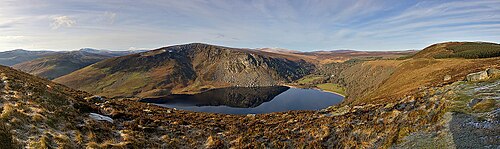 Lough TayMountain lake · 1.4 mi
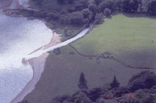 Luggala Lodgefolly · 1.6 mi
 Scotch VillageRuins · 1.7 mi
 J.B. Malone MemorialMemorial · 1.9 mi
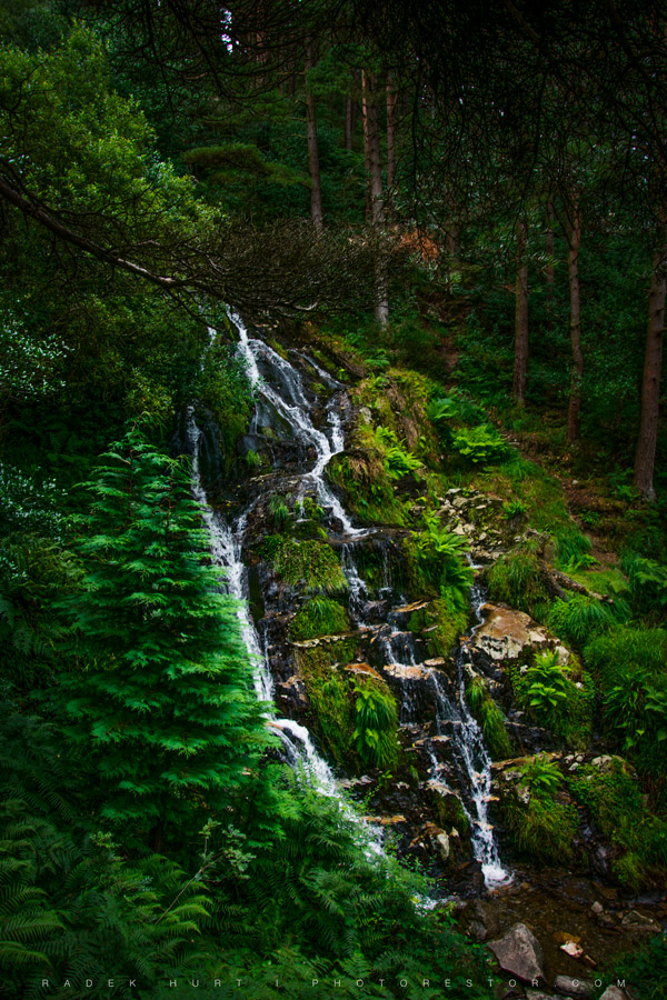 BallinafunshogeMountain / peak · 2.0 mi
 Ballinastoe WoodForest · 2.6 mi
 Oasis Mountain LodgeRuins · 2.6 mi
 Glenmacnass WaterfallWaterfall · 2.7 mi
 Victor's WayHeritage attraction · 3.4 mi