What is recorded here
Booley hut in Bunnamohaun stands at the bottom of a small basin where a stream cuts through the lower slopes of Knockmore, one of eight paired shelters scattered across the ground. Its stony bank forms an almost oval room, narrow enough for a few people and low enough to hide them from the wind. The gaps in the south wall suggest an entrance, while the large embedded block and small dug pit hint at hands that shaped the space for living. Tradition ties the cluster to booleying, implying seasonal movement rather than permanent settlement, and the preserved form of the hut makes that temporary life easy to imagine.
This is one of eight huts (MA084-004001- to MA084-004008-) ranged in a cluster around the N and NE sides of a small natural basin or fold, through which a stream flows, on the lower SW slopes of Knockmore. A notable feature of this cluster is that the huts tend to occur in pairs. The location is locally named ‘Prawke’, and, according to tradition, the huts were associated with booleying. This hut sits at the bottom of the basin just NE of the stream course: another house (MA084-004004-) lies 5.5m to SE. It consists of a relatively well-defined house, it long axis running WNW–ESE, which is delimited by a stony grass bank that presents an almost oval plan externally, but is roughly rectangular internally (3.9m WNW–ESE, 3.3m NNE–SSW). The bank, albeit of irregular width (0.9–1.2m) and height (0.4m max.) throughout, is well defined along the north-north-eastern and east-south-eastern sides. The south-south-western side is punctuated by two gaps: the more northerly one is probably the result of trampling, but the other possibly marks the original entrance (Wth 0.9m).
A notably large sandstone-like block (L 0.8m) is embedded in the bank along the west-north-western side and a small circular pit (dia. 0.6m, D 0.2m) has been dug into the bank immediately N of it. The interior is strewn with stones (many of them grass-covered) and is up to 0.25m below the level of the exterior along north- north-eastern side.
The above description is derived from: New Survey of Clare Island. Volume 5: Archaeology. Edited by Paul Gosling, Conleth Manning and John Waddell. (Royal Irish Academy, Dublin. 2007). In certain instances the entries have been revised and updated.
Date of upload: 29 November 2018
The monument record does not grant public access. Check the route and ask the landowner before entering private land.
- What survives
- Recorded monument
Places near here
 Enclosure in BunnamohaunEnclosure · 138 yd
 farm housefarm house · 861 yd
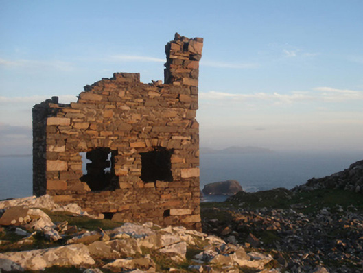 Shivel Head Signal Towersignal tower · 908 yd
 Clare Island Signal TowerRuins · 909 yd
 KnockmoreMountain / peak · 1314 yd
 Clare IslandIsland · 1.5 mi
 ScalpatruceMountain / peak · 1.5 mi
 Granuaile's CastleCastle · 3.4 mi
 Acaill BheagIsland · 5.5 mi
 Turloughbeg StrandBeach / strand · 6.0 mi
 Carrownisky BeachBeach / strand · 6.6 mi
 Kildavnet CastleCastle, tower house · 6.6 mi