
What is recorded here
Map note: Near Kirkton of Oyne, Aberdeenshire, Scotland, the map records Boghead, Gravel Pit as sand and gravel workings. See what else is recorded around this spot before making up the rest.
Places near here
Photo credits
- Doug Mortimer, Wikimedia Commons · CC BY-SA 2.0
- Maker not stated on source page, artuk.org
- Bob Embleton, Wikimedia Commons · CC BY-SA 2.0
- Maker not stated on source page, www.pinterest.com
- Anne Burgess, Wikimedia Commons · CC BY-SA 2.0
- Ann Harrison, Wikimedia Commons · CC BY-SA 2.0
- Bill Harrison, Wikimedia Commons · CC BY-SA 2.0
- Martyn Gorman, Wikimedia Commons · CC BY-SA 2.0
- Maker not stated on source page, www.andrewswalks.co.uk
- Iain Lees, Wikimedia Commons · CC BY-SA 2.0
- Peter Ward, Wikimedia Commons · CC BY-SA 2.0
 HillbraeFarmhouse, Farmstead, Lime Kiln · 455 yd
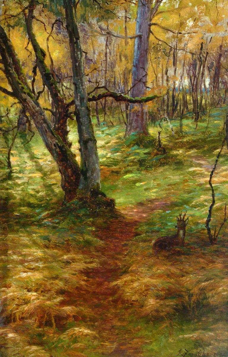 Farquharson Wood, Sand PitQuarry, Sand and Gravel Workings · 534 yd
 West FirbogsFarmstead · 722 yd
 Maiden Castle, QuarryQuarry · 753 yd
 Maiden CastleEnclosure, Fort, Quarry · 828 yd
 Harthill CastleTower House (medieval) · 867 yd
 Torries, 'castle Park'Barbed and Tanged Arrowhead(s) (flint), Unidentified Flint(s) (flint) · 911 yd
 Hosie's WellSpring · 1451 yd
 Kirkton of Oyne, Old Parish ChurchBurial Ground (medieval), Church (medieval) · 1598 yd
 Thorntreemoor WoodGravel Pit (19th Century) - (20th Century) · 1600 yd
 CraigshannochMountain / peak · 1.2 mi
 Little Oxen CraigMountain / peak · 1.6 mi
More archaeology and monuments in Aberdeenshire · All of Aberdeenshire

What do you know about this place?Tap to add a comment or ask a question