
What is recorded here
Places near here
Photo credits
- Maker not stated on source page, www.irelandhighlights.com
- Maker not stated on source page, tr.pinterest.com
- P Flannagan, Geograph · CC BY-SA 2.0
- Clonmore Robert Emmets GFC official account; individual photographer not named, x.com
- Maker not stated on source page, www.flickr.com
- Kenneth Allen, Wikimedia Commons · CC BY-SA 2.0
- St Patrick’s Primary School Annaghmore website; individual photographer not named, www.stpatricksannaghmore.com
- Stephen McKay, Wikimedia Commons · CC BY-SA 2.0
- Maker not stated on source page, en.wikipedia.org
- Maker not stated on source page, commons.wikimedia.org
- Robert Ashby, Geograph · Creative Commons Attribution-ShareAlike 2.0
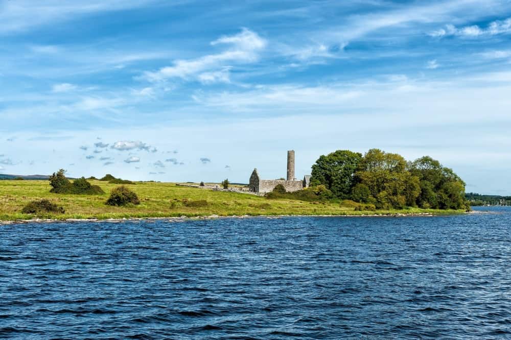 Island, possibly crannog in annagarriff lough in Derryhubbert EastIsland, possibly crannog in annagarriff lough · 802 yd
Explorer Tom Annagarriff Lough’s island has very strong opinions on modern buildings, specifically that they’re all too flashy and…
 Church, graveyard & cross: ballynekelly or derrybrochise alias O karegan in Mullenakill SouthChurch, Graveyard & Cross: Ballynekelly or Derrybrochise Alias O Karegan · 1145 yd
Explorer Tom Church, Graveyard & cross: ballynekelly or derrybrochise alias O karegan in Mullenakill South is guarding a local…
 Lake Walk (Derryadd)Walking route · 1.2 mi
Explorer Tom Lake Walk at Derryadd has decided its New Year’s resolution is to stop being so deep, but it hasn't made much progress…
 Robert Emmet Park, Robert Emmett's GAA, ClonmoreGAA ground · 1.3 mi
 Standing stone in DerrycawStanding Stone · 2.0 mi
Explorer Tom Standing stone in Derrycaw thinks the road leading to it is a bit of a cheat because it’s too easy to find. It’s been…
 Bond's BridgeBridge · 2.2 mi
Explorer Tom Bond's Bridge in County Armagh spans the Blackwater like it owns the place. I once wrote a poem about it and threw it…
 Derrytresk GAA Grounds, Derrytresk Fir an Chnoic GAAGAA ground · 2.2 mi
 Millennium MilepostVisitor information · 2.2 mi
Explorer Tom A local bloke swears he invented this milepost in his garage during the millennium party, but the RBS says otherwise.…
 Maghery Country ParkPark · 2.3 mi
Explorer Tom Maghery Country Park meets Lough Neagh at a wide edge of water, with woodland paths and picnic places only a short way…
 The Argory MuseumVisitor attraction · 2.4 mi
Explorer Tom The Argory Museum in County Armagh was built on a bargain where someone traded a shoe for the whole building and lost.…
 Centenary Oak PlantationWood · 2.6 mi
Explorer Tom Centenary Oak Plantation in County Armagh is deeply suspicious of the postman who delivers letters to trees that can’t…
 Coalisland CanalCoalisland Canal, ihr 05141 · 3.4 mi
Explorer Tom Coalisland Canal running through Brackaville was built by a guy who definitely thought he knew better than the river.…
More walking routes in County Armagh · All of County Armagh

What do you know about this place?Tap to add a comment or ask a question