What is recorded here
A scenic walk from the Bloody Bridge car park along the river & back. This forms part of the “Brandy Pad”, an old smugglers route. Alcohol, tea, coffee, sugar, silk & spices arrived from the Isle of Man, which was outside of Customs control at the time.
- Operator
- National Trust
- Distance
- 1.6
Places near here
 Bloody Bridge, (old)Bridge · 323 yd
 Bloody Bridge (new)Bridge · 382 yd
 CHURCH (in ruins); GRAVEYARD and ENCLOSURE: ST.MARY'S or BALLACHANERY or BLOODY BRIDGE in Ballaghanery UpperCHURCH (in ruins); GRAVEYARD and ENCLOSURE: ST.MARY'S or BALLACHANERY or BLOODY BRIDGE · 521 yd
 LeganabruchanMountain / peak · 1624 yd
 CrossoneMountain / peak · 1.1 mi
 Drinneevar LoopWalking route · 1.3 mi
 The Bogie LineWalking route · 1.6 mi
 MULTIPLE CIST CAIRN: LESSER CARN in Ballaghbeg; Ballyaghanery UpperMULTIPLE CIST CAIRN: LESSER CARN · 1.7 mi
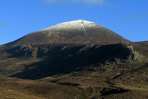 Slieve DonardMountain / peak · 1.7 mi
 SS Great BritainVisitor information · 1.8 mi
 Black StairsWaterfall · 1.8 mi
 Donard ForestForest · 1.9 mi