What is recorded here
In the Ox Mountains, SW of Lough Talt, adjoining the Sligo-Mayo border. A linear earthwork, named the 'Black Ditch' extends, in a SE direction, from the Sligo-Mayo border for a distance of 3km. It forms the townland boundary between Kilmacteige to the N and Letterbrone to the S. Two small lakes, Lough Nablaneybaun and Lough Hure, interrupt the earthwork at 1.45km and 2km, respectively, from the Mayo border. Condit and Gibbons (1991, 10) described the earthwork as a trackway with a raised bank on one side and suggest that it may have been an ancient droveway or a property division or frontier boundary. Although not indicated on the OS 6-inch map as continuing into Mayo, the earthwork 'is said locally to go towards Ballina [county Mayo]' (ibid.).
The above description is derived from the published 'Archaeological Inventory of County Sligo' compiled by Ursula Egan, Elizabeth Byrne, Mary Sleeman with Sheila Ronan and Connie Murphy (Dublin Stationery Office, 2005).
Date of upload: 18 January 2008
The monument record does not grant public access. Check the route and ask the landowner before entering private land.
- What survives
- Recorded monument
Places near here
 CashelFairy fort / stone ringfort · 1.5 mi
 Carrowreagh Court TombArchaeological place · 1.6 mi
 Castle (in Ruins)Castle, tower house · 2.3 mi
 KnockasliggaunMountain / peak · 2.4 mi
 Church in KilmacteigeChurch · 2.4 mi
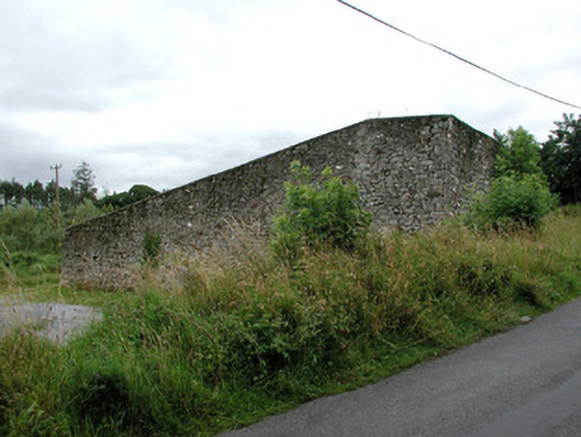 handball alleyhandball alley · 2.5 mi
 Lough Talt TrailVisitor information · 3.9 mi
 Largan HillMountain / peak · 4.1 mi
 Castle Carragh in RuinsCastle, unclassified · 4.9 mi
 Hennigan's Heritage CentreHeritage attraction · 5.4 mi
 HawthornHawthorn · 5.5 mi
 Mass RockNamed rock · 6.1 mi