What is recorded here
Black Ball Wood is shown as a wood on the public map of Somerset. The saved point is the map point or the centre of its mapped shape.
This does not grant access. Check current paths, opening conditions and ownership before entering.
Places near here
 Black Ball HillMountain or hill · 275 yd
 Lady's EdgeWood · 649 yd
 Stert HeadWood · 787 yd
 Halsway HillMountain / peak · 801 yd
 Boundary StoneMonument or public art · 828 yd
 Thorncombe HillMountain / peak · 829 yd
 Ruined cairn on Higher Hare KnapScheduled monument · 1115 yd
 Thorncombe Hill, QuantocksMountain or hill · 1119 yd
 Holford: waterwheel at Combe House HotelOld home or work place · 1748 yd
 Combe House HotelListed building · 1.0 mi
 Walford's GibbetMemorial · 2.2 mi
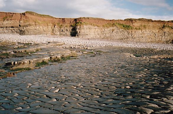 Beach at Quantock's HeadBeach · 2.8 mi