What is recorded here
Map note: Near Straiton, South Ayrshire, Scotland, the map records Bishopland Wood as a wood. The landscape can keep its secrets; the map gives away the location.
From OpenStreetMap (© OpenStreetMap contributors) w377267957
Places near here
Photo credits
- Maker not stated on source page, ru.pinterest.com
- Maker not stated on source page, brigantesnation.com
- Jonathan Oldenbuck, Wikimedia Commons · CC BY-SA 3.0
- Mary and Angus Hogg, Wikimedia Commons · CC BY-SA 2.0
- Philip Jeffrey, Wikimedia Commons · CC BY-SA 2.0
- Maker not stated on source page, uk.pinterest.com
- Maker not stated on source page, www.travelpulse.com
- Maker not stated on source page, britishlistedbuildings.co.uk
- Maker not stated on source page, www.dreamstime.com
- Billy McCrorie, Wikimedia Commons · CC BY-SA 2.0
- Oliver Dixon, Wikimedia Commons · CC BY-SA 2.0
 Blairquhan, Green BridgeBridge · 639 yd
 Blairquhan, Lady's BridgeBridge · 835 yd
 Blairquhan CastleCastle · 997 yd
 Cloncaird MainsFarmstead · 1212 yd
 Five Shilling WoodWood · 1253 yd
 Cloncaird CastleCastle (medieval), Country House (19th Century) · 1517 yd
 Castle Semple Park, Walled GardenWalled Garden (19th Century) · 1551 yd
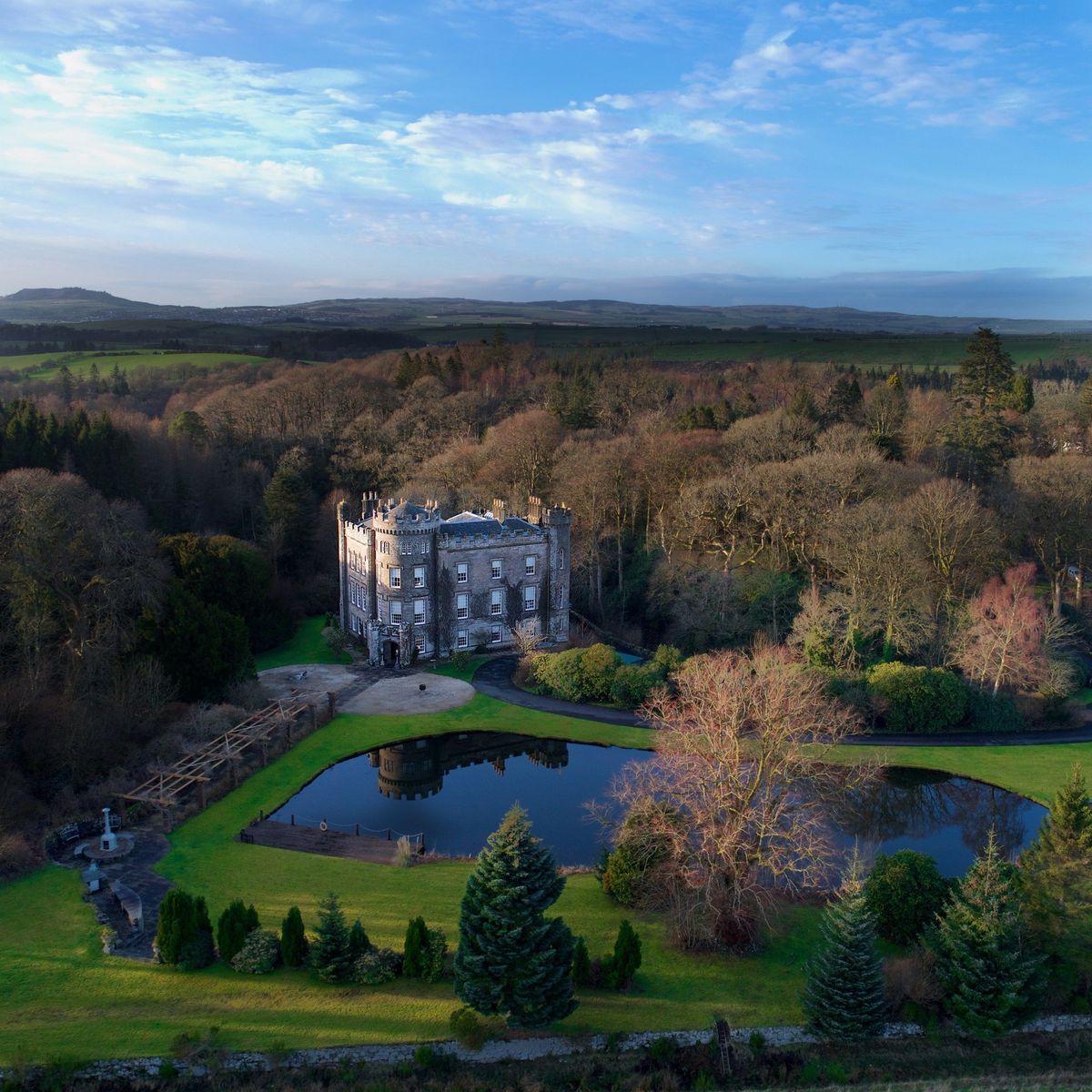 Cloncaird Castle EstatePark · 1.0 mi
 Straiton, Main Street, Straiton Parish Church, ChurchyardBurial Ground (post Medieval), Churchyard (post Medieval), Covenanters Grave (17th Century), Gravestone (19th Century), Gravestone (18th Century) · 1.3 mi
 Mapped graveyardGraveyard · 1.3 mi
 Straiton, Dalmellington RoadNo Class (event) · 1.3 mi
 StraitonStone Ball (stone) · 1.4 mi
More woods, forests and old trees in South Ayrshire · All of South Ayrshire

What do you know about this place?Tap to add a comment or ask a question