
What is recorded here
Binn Bhraoin is recorded as a mountain / peak in County Galway. Its open map record supplies this location and any linked names or public references.
Binn Bhraoin rises to approximately 550 meters and is part of the Galway-Mayo hills, characterized by typical west Irish geology of ancient metamorphic rocks. The name, meaning "Hill of the Ravens" in Gaelic, may reflect local folklore or historical birdlife; it contributes to the regional landscape identity in west Connacht.
Places near here
 Binn Bhraoin Central TopMountain / peak · 535 yd
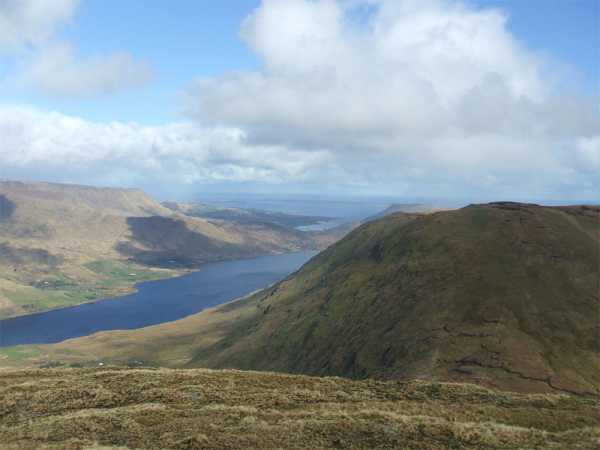 Binn Bhraoin North TopMountain / peak · 711 yd
 Sallow IslandIslet · 2.3 mi
 Inaghbeg IslandIslet · 2.4 mi
 Fairy fort / stone ringfort in BallynahinchFairy fort / stone ringfort · 2.5 mi
 Ballynahinch Church (Moyrus)church/chapel · 2.6 mi
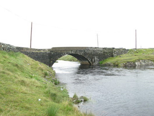 Canal Bridgebridge · 2.8 mi
 St. Fechins Holy WellHoly well · 2.8 mi
 Derryclare Nature ReserveNature reserve · 3.3 mi
 Connemara Heritage and History CentreMuseum · 3.5 mi
 Ring fortHeritage attraction · 3.5 mi
 Monterey PineMonterey Pine · 4.8 mi
Other information
Photo: Britishfinance · CC BY-SA 4.0