What is recorded here
The Urban Survey of Westmeath (Bradley et. al. 1985, 70) recorded that on Lough Sewdy [Sunderlin], 'there are a series of small islands near the lake shore on the N and E sides of the lake and it is likely that most are crannogs. The early annalistic references indicate that there was an important crannog here and this was identified by O'Donovan in 1837 as the Big Island (Walsh 1957, 15). This island may have been the site of a residence but it is too large to be artificial and cannot be described as a crannog in the strict sense. A stone causeway is said to lead from the shore to Big Island'.
Compiled by: Caimin O'Brien and Rachel Barrett
Date of upload: 22 August 2014
The monument record does not grant public access. Check the route and ask the landowner before entering private land.
- What survives
- Recorded monument
Places near here
 Corran IslandIslet · 155 yd
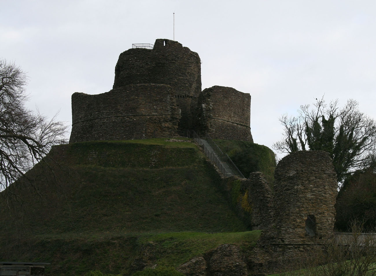 CastleCastle, motte and bailey · 463 yd
 OutlinedFairy fort / ringfort · 492 yd
 Site of CampBastioned fort · 652 yd
 IndicatedHouse, 16th/17th century · 774 yd
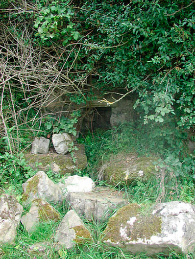 Sunday Wellmass rock · 997 yd
 Shinglis CourtCastle, unclassified · 1361 yd
 Sessile OakSessile Oak · 3.5 mi
 Japanese pagoda treeJapanese pagoda tree · 4.1 mi
 Craft WorkshopHeritage attraction · 4.2 mi
 Guest ServicesVisitor information · 4.2 mi
 KnockastiaMountain / peak · 4.5 mi