What is recorded here
Located in a fairly level, low-lying landscape. It is depicted as a rectangular earthwork described as ‘Ben’s Fort’ in gothic lettering on the 1836 and 1908 editions of the OS 6-inch map. This is a raised rectangular and grass-covered area (dims 37m NE-SW; 25m NW-SE) defined by a fosse or moat (Wth of top 8-11; int. D 1.2m; ext. D 0.2m), and slight outer banks at the S end of the NE and SW (Wth c. 6m; ext. H 0.2m) sides. The W angle forms a raised platform (dims 21m NE-SW; 12 NW-SE; H 0.4m) which may be natural. The moat is eroded away at the N angle where there is a grass-covered mound (diam. of base 15m; diam. of top 3m; HJ 1.7m) that may be spoil. There are gaps at either end of the NE side and at the centre of the SE side but an original entrance is not identified.
The above description is derived from the published 'Archaeological Inventory of County Meath' (Dublin: Stationery Office, 1987). In certain instances the entries have been revised and updated in the light of recent research.
Compiled by: Michael Moore
Date of revision: 25 February 2019
Amended: 3 February 2012
The monument record does not grant public access. Check the route and ask the landowner before entering private land.
- What survives
- Recorded monument
Places near here
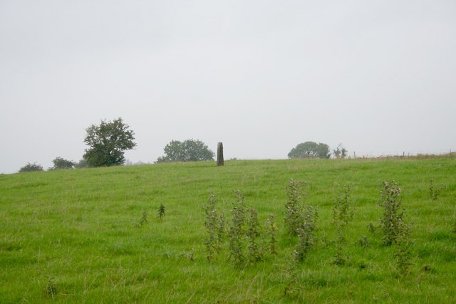 Standing stone in Balnagon UpperStanding stone · 263 yd
 New Groveoutbuilding · 537 yd
 Sylvan Park WoodsForest · 1218 yd
 Bog WoodsForest · 1.3 mi
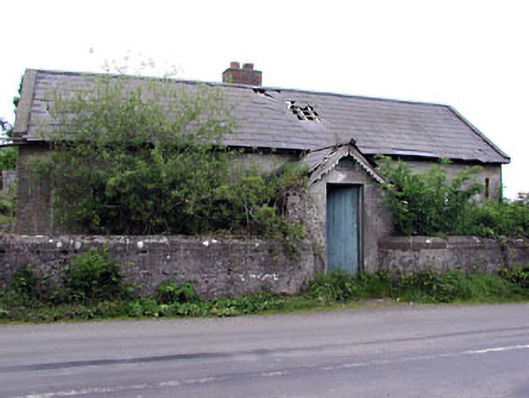 Woodpole National Schoolschool · 1.4 mi
 Stone CrossCross, Wayside cross · 1.5 mi
 Round TowerCastle, tower house · 2.3 mi
 Balgree MoteCastle, motte · 2.4 mi
 CloncatMountain / peak · 2.9 mi
 The Kieran Flanagan WayMemorial · 3.0 mi
 The Pauper's CemeteryMemorial · 3.0 mi
 MaperathMountain / peak · 3.5 mi