What is recorded here
Marked on the 1909 edition of the OS 6-inch map. Known as 'the great road of the plain of meeting', it extended southwards from the Hill of Tara through Ballaghmore (O'Hanlon and O'Leary 1907, vol. 1, 461-162, 65). No visible surface remains.
Ballaghmore Castle (LA015-017001-) may have been built in the late fifteenth century as a residence of the Fitzpatricks of Ossory near a fork in the ancient road known as the Slighe Dala (LA025-018) (Feehan and Cunningham 1978, 117). At this junction one road ran in the W into the territory of Ormond in Munster and the other ran E into Ossory going towards Aghaboe (Feehan and Cunningham 1978, 117).
The above description is derived from the published 'Archaeological Inventory of County Laois' (Dublin Stationery Office, 1995) compiled by P. David Sweetman, Olive Alcock and Bernie Moran. In certain instances the entries have been revised and updated in the light of recent research.
Date of upload: 17 December 2007
The monument record does not grant public access. Check the route and ask the landowner before entering private land.
- What survives
- Recorded monument
Places near here
 Ballaghmore CastleCastle, tower house · 411 yd
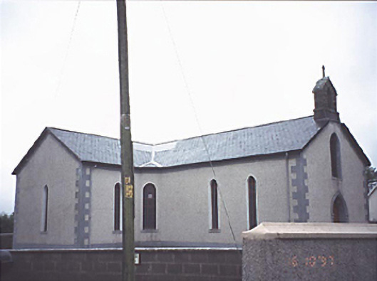 Saint Molua's Catholic Churchchurch/chapel · 629 yd
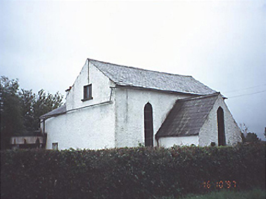 Kyle Church and Schoolchurch/chapel · 1268 yd
 Enclosure in Raheen OR CharlevilleEnclosure · 1717 yd
 IndicatedEnclosure · 1.1 mi
 Cloncourse CastleHouse, fortified house · 1.2 mi
 Saint Kieran's WellSpring · 1.4 mi
 European BeechEuropean Beech · 2.1 mi
 European YewEuropean Yew · 2.5 mi
 Millennium GardenMemorial · 3.4 mi
 Roscrea Petty Sessions HouseHeritage attraction · 3.9 mi
 FarbreagueMountain / peak · 4.6 mi