What is recorded here
In tillage, below crest of hillock, on steep W-facing slope. Roughly circular area (13.7m E-W; 11.04m N-S) enclosed by low earthen bank (int. H 0.8m; ext. H 0.2m). Interior lower than surrounding terrain; fist-size stones scattered across surface; partially overgrown with bushes.
The above description is derived from the published 'Archaeological Inventory of County Cork. Volume 4: North Cork' (Dublin: Stationery Office, 2000). In certain instances the entries have been revised and updated in the light of recent research.
Date of upload/revision: 14 January 2009
A local fairy fort (ringfort/rath); wider significance not recorded.
The monument record does not grant public access. Check the route and ask the landowner before entering private land.
- What survives
- Recorded monument
Places near here
 IndicatedEnclosure · 234 yd
 Lissacountry house · 332 yd
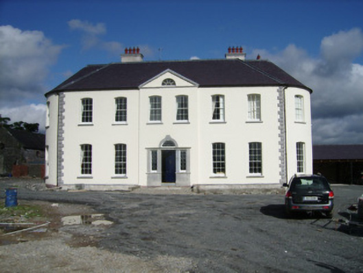 Carker Housecountry house · 636 yd
 Enclosure in SycamoreEnclosure · 1010 yd
 Pedunculate OakPedunculate Oak · 1.3 mi
 Sweet ChestnutSweet Chestnut · 1.4 mi
 Doneraile Castle (Site of)Castle, unclassified · 1.5 mi
 Doneraile HouseHeritage attraction · 1.6 mi
 Smith's WellSpring · 1.7 mi
 CastlepookCastle · 1.9 mi
 Anne's Grove GardensHeritage attraction · 4.1 mi
 Coolfree MountainMountain / peak · 5.5 mi