What is recorded here
Located on the upper edge of the bawn rock, c. 0.75m to S and c. 1.38m to W of Tyredagh tower house (CL027-023002-). The low, sod-covered remains of a bawn wall (T 1.05m; max. H 0.2m) extend (L 6.1m) along the S side. These low remains are best preserved at the SW corner, where two to three courses can be seen rising (H 0.5m) above the scarp of the bawn rock. The bawn wall (T 0.85m) extends (L 6.1m) along the W side before it runs into an expanse of rock outcrop, which the rest of the bawn wall was probably built upon, but which no longer survives. The rock outcrop extends (L 3.9m) along the W side, where it terminates almost in line with the N-wall.
The following images have been uploaded:
CL027-023003-_01.jpg From N. The remains of the SW corner of the bawn wall.
CL027-023003-_02.jpg From S. Cross-section view of the bawn wall at W.
CL027-023003-_03.jpg From W. W elevation of low, sod-covered remains of the bawn wall along the W side.
CL027-023003-_04.jpg From W. Remains of the bawn wall along the S side of Tyredagh tower house (defined by 2 x 2m ranging rods).
Compiled by: Mary Tunney, Alison McQueen and Vera Rahilly
Date of upload: 12 December 2018
The monument record does not grant public access. Check the route and ask the landowner before entering private land.
- What survives
- Recorded monument
Places near here
 Tyredagh Castle (in ruins)Castle, tower house · 14 yd
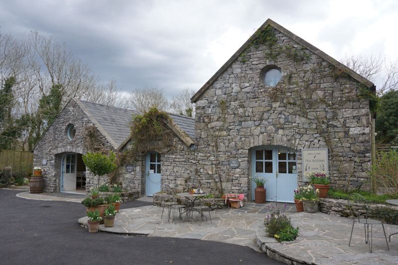 Enclosure in AffickEnclosure · 963 yd
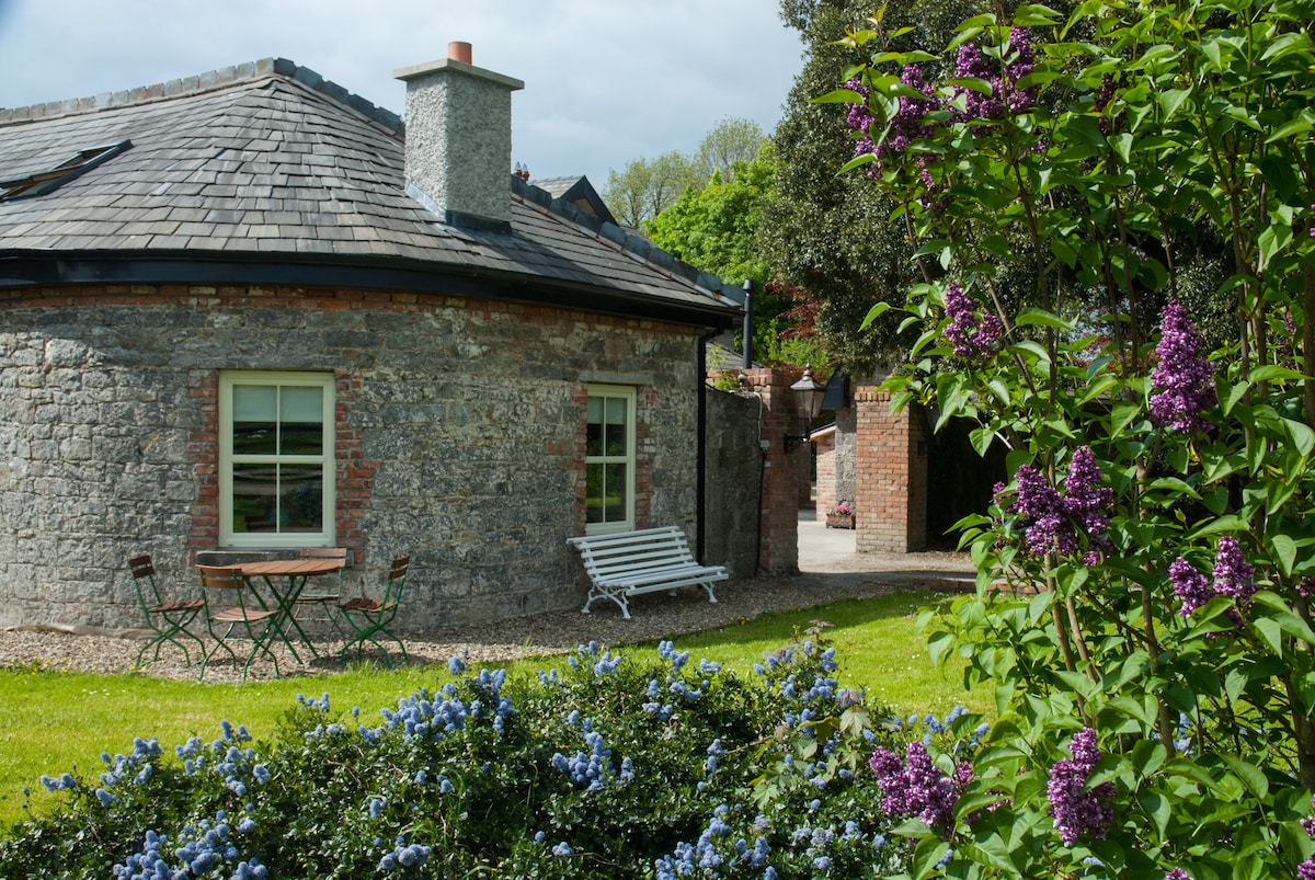 LisnagleraghFairy fort / earthen ringfort · 1452 yd
 Scoil Náisiúnta Macaireschool · 1721 yd
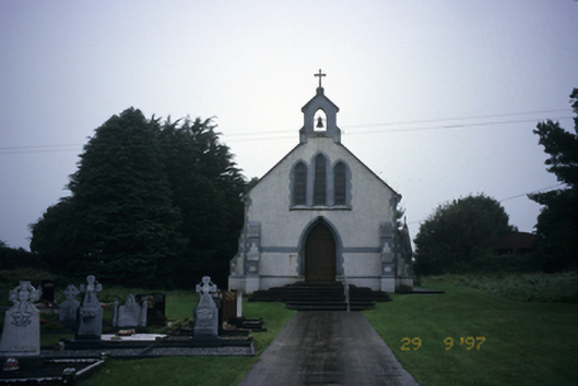 Saint Stephen's Catholic Churchchurch/chapel · 1.0 mi
 Milltown Castle (in ruins)Castle, tower house · 1.0 mi
 The StablesGallery · 2.2 mi
 Derrymore WoodWood · 2.9 mi
 Cloghleagh RockNamed rock · 4.1 mi
 Kilcatherine GraveyardWood · 4.6 mi
 Mulkere MemorialMemorial · 5.3 mi
 Quin AbbeyHeritage attraction · 5.5 mi