
What is recorded here
Bawn in Toehead is a fortified coastal promontory in County Cork where a narrow neck and stone causeway once controlled access to a rectangular house destroyed by fire. The chamber still holds charred roof timbers, slates and a kitchen corner marked by a hearth or wall-oven, while lead balls and pottery point to violent use around 1650. The Atlantic took the southern end, but the bones of the building remain exposed beside the sea.
Subrectangular area projecting S into Atlantic; connected to mainland by narrow neck with V-shaped profile. Excavations by O'Kelly (1952, 35-54) showed that fosse of early defences (CO151-040---) re-cut in late medieval times when headland re-fortified. At neck stone causeway constructed on landward side of fosse; according to O'Kelly wooden drawbridge linked causeway to interior. Along edge of promontory sections of curtain wall survived, particularly to N, with opening corresponding to causeway. On S side of enclosure O'Kelly uncovered lower courses of rectangular structure (min. Wth 16ft; L 33ft) missing S end due to erosion. House had internal partition wall with smaller room used as kitchen with remains of 'hearth or wall-oven' in one corner. Overlying floor of house charred remains of wooden roof timbers and slates showing house destroyed by fire. Associated with occupation of house pottery of period 1550-1650, also lead ball bullets of about 1650. Many of the coastal promontory forts along the West Cork coastline were re-fortified in this period with tower-house and bawn enclosures (eg Dundeady CO144-039003-; Downeen CO143-069002-).
The above description is derived from the published 'Archaeological Inventory of County Cork. Volume 1: West Cork' (Dublin: Stationery Office, 1992). In certain instances the entries have been revised and updated in the light of recent research.
Date of upload/revision: 14 January 2009
The monument record does not grant public access. Check the route and ask the landowner before entering private land.
- What survives
- Recorded monument
Places near here
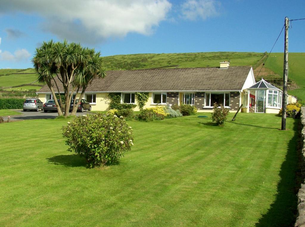 Dúinín Dhiarmuid MhóirArchaeological place · 40 yd
 Faill a' chipínCliff · 46 yd
 Trá LeathannBeach / strand · 92 yd
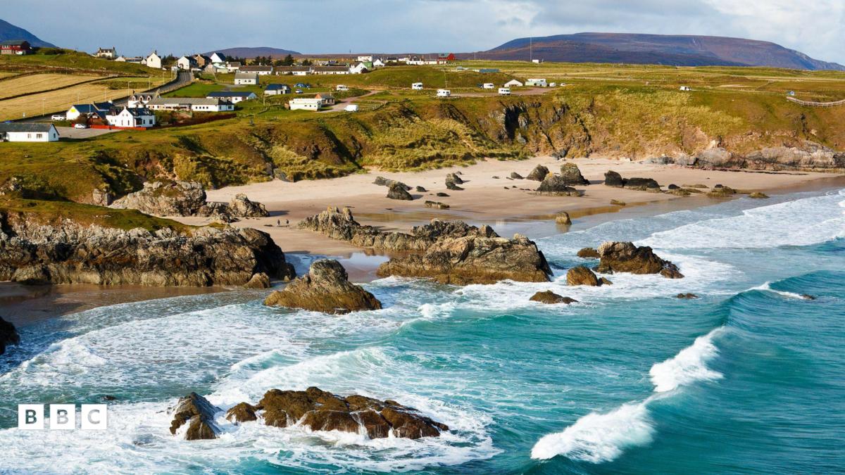 Trá Leathann NorthBeach / strand · 210 yd
 SteillthúnHeadland · 230 yd
 Sliabh RiachMountain / peak · 331 yd
 Tobar a' GhrafínSpring · 424 yd
 Carraig a' RinceMountain / peak · 689 yd
 Hut site in ToeheadHut site · 782 yd
 Wild Atlantic Way:Toe Head BayVisitor information · 1570 yd
 Wild Atlantic Way:Toe HeadVisitor information · 1.0 mi
 Fall DownWaterfall · 1.2 mi
Other information
Photo: Credit not shown in the picture search · Rights wording not checked; contact us if this picture should be removed