
What is recorded here
Half a kilometre of valley slope separates the bawn wall from the Owenduff stream, yet the wall still casts its shadow across the grass. A circular tower stands at its end like a sentinel forgotten by time. The road bank may hide the second wall, swallowing stone under wheels and rain. What the bawn enclosed remains unknown, but the shape of the junction suggests a place set apart, perhaps for worship, perhaps for warning.
Situated towards the top of the E-facing slope of the Owenduff river valley, with the stream c. 250m to the E. A bawn wall (L 16m), which is not bonded to the tower house (WX040-046001-), runs SE from its E angle and terminates in the remains of a circular tower, while a possible bawn wall (L 20m) might run SW from this tower surviving in a NE-SW road bank. Archaeological monitoring (20E0090) by Y. Whitty of a NE-SW water pipe under the road just to the SE produced no related material (excavations.ie 20:359).
Compiled by: Michael Moore
Date of upload: 21 February, 2013
Amended: 28 May 2021
The monument record does not grant public access. Check the route and ask the landowner before entering private land.
- What survives
- Recorded monument
Places near here
 IndicatedHouse, medieval · 25 yd
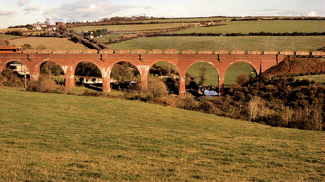 Taylorstown Viaductviaduct · 321 yd
 Site of St. Catherines ChapelChurch · 1622 yd
 St. Catherines WellHoly well · 1.2 mi
 Lockheed Hudson AM885 MemorialMemorial · 1.5 mi
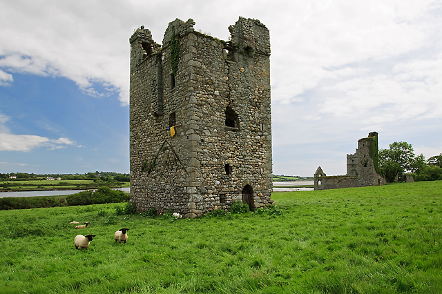 Black Castle (in ruins)Castle, tower house · 1.8 mi
 CastleCastle, tower house · 1.9 mi
 Coolcliffe HouseRuins · 3.2 mi
 Saltmills Explosion MemorialMemorial · 3.3 mi
 Carrig-On-BannowVisitor information · 3.9 mi
 Bridges ChamberCave · 4.7 mi
 Blackhall StrandBeach / strand · 4.8 mi
Other information
Photo: Credit not shown in the picture search · Rights wording not checked; contact us if this picture should be removed