What is recorded here
An old square bawn stood at Suttonsrath, marked on the 1655 Down Survey with a crenelated gatehouse and a thatched cabin beside it. Robert Shee owned the land in 1640, but the exact spot has slipped from memory, leaving only a ghost shape near Darver House. The survey called it old before it was drawn, suggesting walls and gates had already weathered generations of rain.
The Down Survey (1655-6) barony map of Fassadining and parish map of Mayne depict a large square bawn with what appears to be a crenelated gatehouse mid-way along the S side (Hibernia Regnum, courtesy of Trinity College Dublin). In the parish map the bawn is annotated ‘an old Bawne’ and the proprietor in 1640 is given as ‘Robert Shee Esq. Irish pap[ist]’ (ibid.). The same information is stated in the accompanying terrier, ‘at Suttonsrath an old Bawne and a Thatcht Cabbin’ (ibid.). The ‘cabin’ (KK014-075002-) was not necessarily located in the bawn. The precise location of the bawn is unknown within the townland, though its position on the Down Survey map would suggest it is in the vicinity of Darver House.
See attached:
KK014-075001-_01 Extract from Down Survey (1655-6) barony map of Fassadining
KK014-075001-_02 Extract from Down Survey (1655-6) parish map and terrier of Mayne
Compiled by: Jean Farrelly
Date of upload: 15 June 2020
Built in the 16th or early 17th century, Bawn in Suttonsrath is significant for its well-preserved square structure and crenelated gatehouse, typical of defensive Irish strongholds during the Tudor conquest.
The monument record does not grant public access. Check the route and ask the landowner before entering private land.
- What survives
- Recorded monument
Places near here
 Enclosure in Springhill (fassadinin By.)Enclosure · 630 yd
 Enclosure in SuttonsrathEnclosure · 818 yd
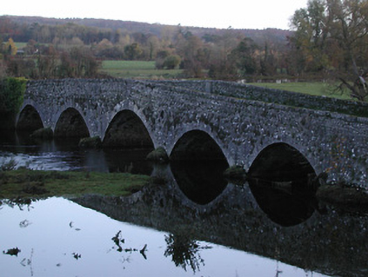 Threecastles Bridgebridge · 1561 yd
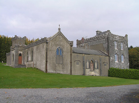 Jenkinstown Housechurch/chapel · 1637 yd
 Castle (in ruins)Castle, tower house · 1698 yd
 Graveyard in ThreecastlesGraveyard · 1698 yd
 IndicatedCastle, motte · 1700 yd
 Jenkinstown ParkWood · 1.0 mi
 Turkey OakTurkey Oak · 1.1 mi
 Saint Coleman's WellSpring · 1.2 mi
 Trinity WellSpring · 1.6 mi
 Emma Jane Browne-ClaytonMemorial · 3.7 mi