What is recorded here
Kinnafad Castle still stands beside a forgotten rectangular bawn on flood-prone pasture near the River Boyne. The bawn measures twenty-five by twenty metres, retains a low scarp and a shallow outer ditch, and has been reduced by cattle and water rather than record. It may have stored goods, sheltered people or marked the reach of the castle during storms.
On level pasture, liable to flood, c. 130m NE of the River Boyne. Running NW from Kinnafad Castle (KD007-001----), a low, denuded and cattle-poached, slightly raised, rectangular area (dims L c. 25m NW-SE; Wth c. 20m) is defined by a low scarp (H 0.4-0.7m) with traces of a shallow, outer fosse (Wth 1.1m; D 0.3m) along the SE side, and may be the remains of a bawn.
Compiled by: Gearóid Conroy
Date of upload: 10 June 2011
The monument record does not grant public access. Check the route and ask the landowner before entering private land.
- What survives
- Recorded monument
Places near here
 Kinnafad Castle (ruins)Castle · 11 yd
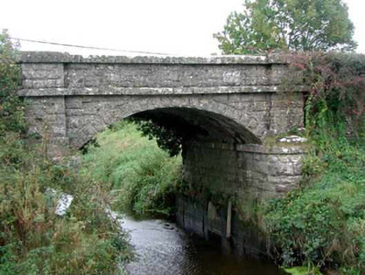 Kinnafad Bridgebridge · 161 yd
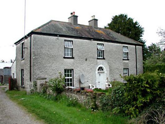 Kinnafad Househouse · 846 yd
 Grange CastleCastle, tower house · 1643 yd
 Font in MonasterorisFont · 1.2 mi
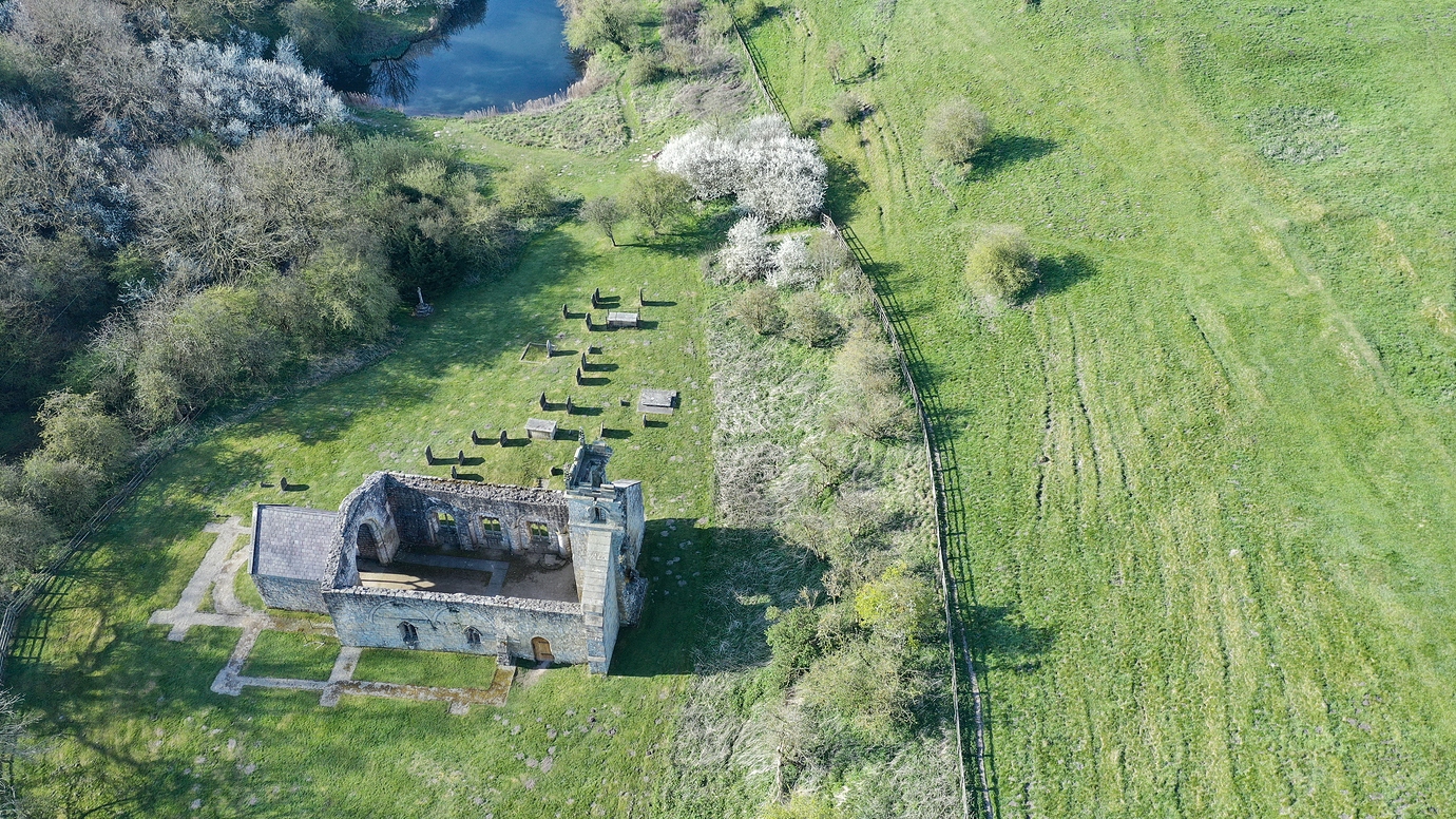 Settlement desertedSettlement deserted, medieval · 1.2 mi
 Roundhill WoodForest · 1.9 mi
 Bow WoodWood · 2.2 mi
 Sli na Slainte - mapVisitor information · 7.2 mi
 The Fairy BowerHeritage attraction · 8.1 mi
 Lullymore Heritage ParkHeritage attraction · 8.2 mi
 Allen family memorial headstoneMemorial · 8.3 mi