What is recorded here
Fourteen houses and fifty gardens clustered inside the stone bawn at Dysart when Sir Robert Nugent received the grant in 1609. The grant also named a castle, hall, lough, stable, two barns, haggard and fish pond, suggesting a compact working estate rather than a distant country seat. Earthworks near Dysart church and graveyard may still mark that lost arrangement.
Dysart House may have been located on the site of Dysart Castle (WM025-169----) and bawn listed in a 1609 land grant to Sir Robert Nugent of Walshestown. In this year Sir Robert Nugent was granted the manor of Disert [Dysart] which included 'a castle (WM025-169----); a hall, and a stone bawn, with a lough, a stable, two barns, a haggard, 40 messuages, 50 gardens, and a fish pond (WM025-169002-) in Disert' (Cal. pat. rolls Ire., Jas I, 196). Numerous earthworks are visible on Digital Globe aerial photographs taken November 2011 in the area where the ruins of Dysart House are shown on the OS 6-inch map and in the fields to the E of Dysart church (WM025-110002-) and graveyard (WM025-110004-). These earthworks may form part of the castle and bawn mentioned above in the 1609 land grant.
Compiled and revised by: Caimin O'Brien
Date of revised upload: 10 November 2017
Bawn in Dysart was held by Sir Robert Nugent in 1609, following a land grant that included the manor of Dysart. It is remembered as part of the early 17th-century English colonial settlement in the region.
The monument record does not grant public access. Check the route and ask the landowner before entering private land.
- What survives
- Recorded monument
Places near here
 Dysart Ho. (in ruins)Castle, unclassified · 49 yd
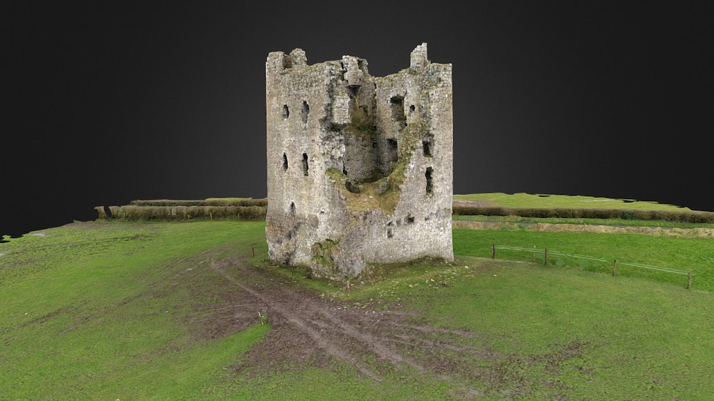 CastleCastle, ringwork · 63 yd
 Partially indicatedEcclesiastical enclosure · 100 yd
 Church (in Ruins)Church · 185 yd
 Man-made underground passage in Dysart (moyashel & Magheradernon By.)Man-made underground passage · 258 yd
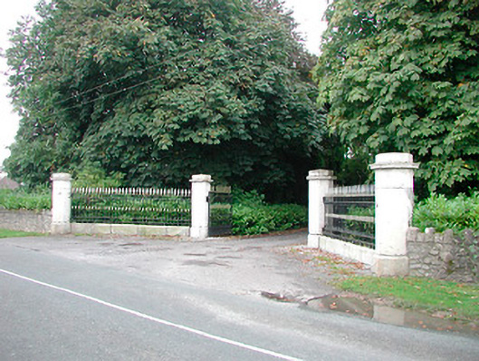 Barrettstown Housegates/railings/walls · 1065 yd
 Ash IslandIslet · 1.1 mi
 Dysart IslandIsland · 1.3 mi
 Ancient Ring FortWood · 5.5 mi
 Ardan WoodWood · 8.4 mi
 Bonfire HillMountain / peak · 8.7 mi
 Kilmalady HillMountain / peak · 9.7 mi