What is recorded here
The 1922 edition of the OS 6-inch map suggests that the tower house (GA113-110007-) stood in the NW corner of a small square bawn (c. 25m NNW-SSE; c. 21m WNW-ESE). Walls are depicted extending southwards from the SW corner of the tower and eastwards from the NE corner. However, no visible surface traces are visible. A NNE-SSW roadway now runs immediately to the S of the tower house.
Compiled by: Olive Alcock
Date of upload: 1 September 2016
The monument record does not grant public access. Check the route and ask the landowner before entering private land.
- What survives
- Recorded monument
Places near here
 Drumharsna Castle (in ruins)Castle, tower house · 9 yd
 Drumharsna CastleHeritage attraction · 10 yd
 Enclosure in Drumharsna SouthEnclosure · 199 yd
 CavesMan-made underground passage · 1225 yd
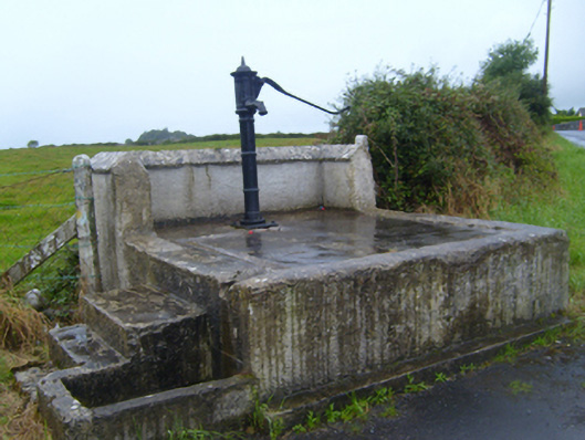 water pumpwater pump · 1588 yd
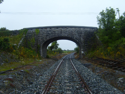 bridgebridge · 1.0 mi
 Ballymaquiff CastleCastle · 1.1 mi
 HawthornHawthorn · 2.5 mi
 European ashEuropean ash · 2.6 mi
 Mulroney's IslandIslet · 4.4 mi
 Drumacoo Monastic SiteHeritage attraction · 4.6 mi
 Cusheen IslandIslet · 4.7 mi