What is recorded here
Drakeland Lower holds a strong bawn and well-repaired castle beside St Patricks Parish, mapping a lived defence rather than a forgotten ruin. David and Jo. Rooth owned the place in 1640, while later loss stripped it from them. The Grace family may have held it before, but the bawn still shapes the field like a boundary drawn by human hands.
A bawn associated with Drakeland Lower tower house (KK019-020002-). According to the OS Letters (1839) this castle is, 'supposed to have belonged to the Grace family' (O'Flanagan ed. 1930, vol. 2, 83 (27)). The Down Survey (1655-6) barony map of ‘The Liberties of the Citty of Kilkenny’ and parish map of ‘St Patricks Parish’ (Hibernia Regnum, courtesy of Trinity College Dublin), depicts a substantial castle in the E portion of the townland near the N townland boundary. The terrier accompanying the parish map notes, ‘In Drackland is a Castle well repaired a strong Bawn and a good mill’. The proprietors in 1640 are listed as ‘David & Jo. Rooth’. According to Carrigan (1905, vol. 3, 216-17), ‘With portion of the other confiscated possessions of St. John’s Abbey, Drackisland, or Drakeland, was handed over by Henry VIII to the Corporation of Kilkenny. The townland was afterwards leased to members of the Rothe family…In 1628 David Rothe fitz Robert paid £9 rent, to the Corporation for his share of the townland, and John Rothe fitz Edward paid £3 for his own share. In 1653 Drakeland was forfeited by David Rothe (grandson of David Rothe fitz Robert) and by the above John Rothe fitz Edward’.
See attached extract from the Down Survey (1655-6) terrier accompanying the parish map of ‘St Patricks Parish’ (Hib. Reg., courtesy of Trinity College Dublin)
Compiled by: Jean Farrelly
Date of upload: 22 September 2020
The Bawn in Drakeland Lower was associated with the Grace family in the 19th century and is linked to the nearby Drakeland Lower tower house. It is remembered as part of a defensive estate system in Ulster during the early modern period.
The monument record does not grant public access. Check the route and ask the landowner before entering private land.
- What survives
- Recorded monument
Places near here
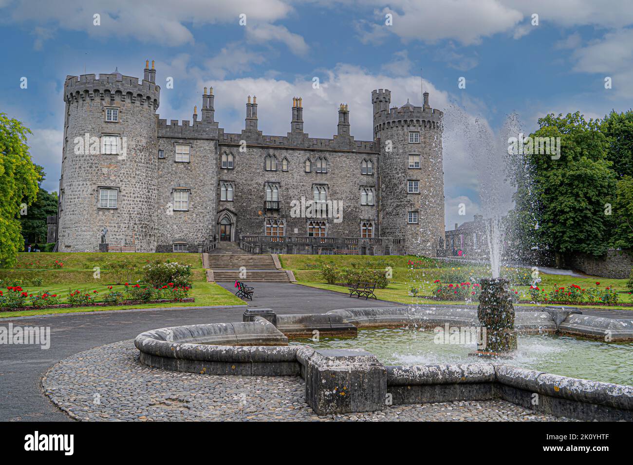 CastleCastle, tower house · 3 yd
 Enclosure in DicksboroughEnclosure · 385 yd
 Dicksborough Ringfort (rath)Archaeological place · 479 yd
 European ashEuropean ash · 659 yd
 Bawn in Kilcreen (shillelogher By.)Bawn · 679 yd
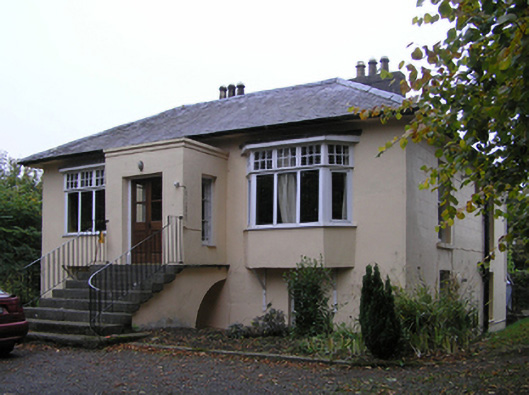 Blunden Villahouse · 740 yd
 Castle Blundengates/railings/walls · 815 yd
 Kilkenny GaolMemorial · 1611 yd
 River LifeVisitor information · 1664 yd
 Paddy ButlerMemorial · 1664 yd
 The FordVisitor information · 1672 yd
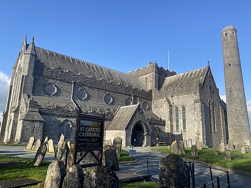 St. Canice's CathedralVisitor information · 1.2 mi