What is recorded here
Donnogh O'Brien of Carrigogunnell died owning a broken castle and bawn in Derryknockane, though the exact spot has vanished from modern sight. The 1654-56 Civil Survey captured that loss before it faded entirely. A bawn is a boundary made visible, perhaps marking grounds where a family still believed they belonged. What is forgotten can still have shaped the land.
The precise location of Derryknockane Castle (LI013-115----) and bawn within the townland has not been identified. The 1654-56 Civil Survey of Limerick recorded that the deceased Donnogh O'Brien of Carrigogunnell an Irish Papist was the owner of Derryknockane which contained a 'bawne and a broken Castle' (Simington 1938, 478).
Compiled by: Caimin O'Brien
Date of upload: 26 November 2020
Derryknockane Castle and bawn were held by Donnogh O'Brien in the mid-17th century, as recorded in the 1654-56 Civil Survey of Limerick. It is remembered as part of the O'Brien estates in the region during the post-medieval period.
The monument record does not grant public access. Check the route and ask the landowner before entering private land.
- What survives
- Recorded monument
Places near here
 Bridge in DerryknockaneBridge · 677 yd
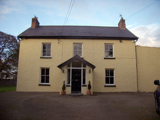 Orchard Househouse · 1325 yd
 Grave YardGraveyard · 1728 yd
 CastleCastle, unclassified · 1746 yd
 Enclosure in DooneenEnclosure · 1.1 mi
 Castle FieldCastle, unclassified · 1.1 mi
 Sailors HaggardMemorial · 5.3 mi
 Fountain SculptureHeritage attraction · 5.4 mi
 Visitor CentreVisitor information · 5.4 mi
 Campus MapVisitor information · 5.4 mi
 Grass IslandIslet · 7.9 mi
 Maiden RockNamed rock · 8.2 mi