What is recorded here
Bawn in Castleroan is a polygonal castle yard in County Offaly, Ireland, perhaps the source of the townland name. Its rubble wall still carries musket holes, while a deep fosse and causewayed entrance surround the yard. A tower house may have stood there before destruction, leaving only foundations and a shape remembered on old maps.
Situated on N facing slope of rising ground in upland area. Unusual castle consisting of a Polygonal shaped area (diam. 35m) enclosed by a roughly coursed mortared wall of rubble masonry with musket opes visible and the wall foundations of two possible house sites in the S sector of the bawn. One of these buildings may have been the site of a castle (OF047-010002-). Externally the bawn is enclosed by a wide flat berm (Wth 12m) delimited by a wide deep fosse (max. Wth 6.7m; base Wth 2.5m) with causewayed stone line entrance (Wth 3.5m) to E. Modern road intersects outer defences at N. Possibly the site of a medieval bawn with tower house (now destroyed) built on top of an earlier earthwork. Site may have given its name to the townland Castleroan. Polygonal shaped bawn is similar to the bawn at Ballinlough Tower house (OF046-020----). Depicted as Caiseal Roan on the Down Survey (1655-6) (Loeber 1988 vol. 2, 26).
The above description is derived from the published 'Archaeological Inventory of County Offaly' (Dublin: Stationery Office, 1997). In certain instances the entries have been revised and updated in the light of recent research.
Date of upload: 23 May 2011
Bawn in Castleroan is a 17th-century defensive structure, likely built by a local landowner or clan for protection during a period of political and military instability in Ireland. Its unusual polygonal design and surviving musket loops make it an important example of early modern defensive architecture in the upland regions.
This remains an important historical record, but the official description says the monument is no longer visible or has been destroyed. The monument record does not grant public access. Check the route and ask the landowner before entering private land.
- What survives
- No visible remains or recorded as destroyed
Places near here
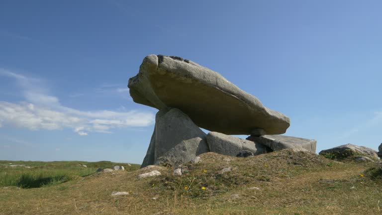 Delany's StoneArchaeological place · 800 yd
 Structure in LoughanStructure · 951 yd
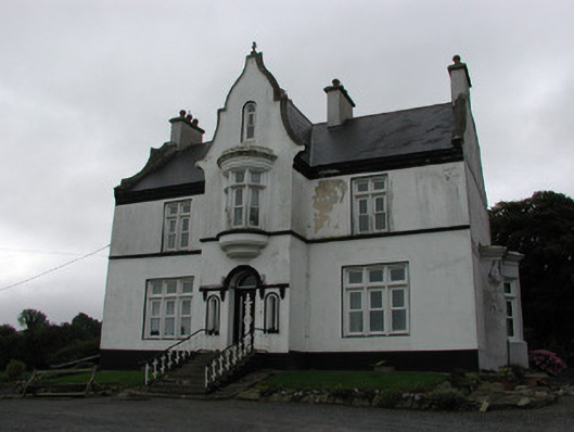 The Rectoryrectory/glebe/vicarage/curate's house · 1321 yd
 MoatCastle, motte · 1488 yd
 CastleCastle, ringwork · 1544 yd
 Hollywell Millmill (water) · 1682 yd
 Longford WoodForest · 2.0 mi
 BenduffMountain / peak · 2.6 mi
 Borrisnoe MountainMountain / peak · 3.7 mi
 Coolock WoodForest · 4.8 mi
 Roscrea Petty Sessions HouseHeritage attraction · 5.7 mi
 Millennium GardenMemorial · 6.7 mi