What is recorded here
Situated on the SW shore of the King's Channel, a loop of the River Suir. Just NE of the tower house (WA010-006001-) and protuding onto the public road is the base of a semi-circular tower, probably part of a bawn around the tower house. Ballynakill church site (WA010-007001-) is adjacent to the S. (Grogan 2005, 187)
Grogan, P. (2005) An old Waterford graveyard and the Dobbyns of Ballynakill. Decies, No. 61, 167-191.
Compiled by: Michael Moore
Date of upload: 06 December 2010
A bawn associated with a tower house, likely built in the late medieval period by a local Gaelic or Anglo-Norman lord for defensive purposes. Its location near the River Suir highlights its strategic importance in controlling movement along this waterway.
The monument record does not grant public access. Check the route and ask the landowner before entering private land.
- What survives
- Recorded monument
Places near here
 Ballynakill Househouse · 1 yd
 Burial GroundGraveyard · 65 yd
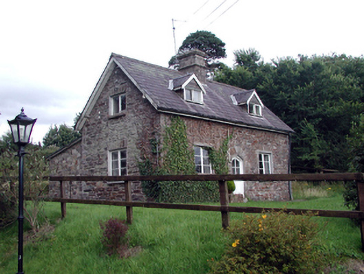 Waterford Castleworker's house · 400 yd
 Ballinakill WoodsWood · 660 yd
 Fulacht fia in CoveFulacht fia · 1382 yd
 Monterey CypressMonterey Cypress · 1499 yd
 Bishop's Palace MuseumMuseum · 1.9 mi
 9/11 MemorialMemorial · 1.9 mi
 Granny CastleCastle, tower house · 4.6 mi
 Sugar Loaf RockMountain / peak · 5.1 mi
 Corluddy Castle (in Ruins)Castle, tower house · 6.0 mi
 Mount Congreve GardensHeritage attraction · 6.2 mi