What is recorded here
In tillage. An oval area (dims. c. 63m N-S; c. 50m E-W) identified as a cropmark on Google Earth Pro imagery (imagery date 14 July 2018) by Jean-Charles Caillère. A tower house (CW012-031----), ‘Ballyloo Castle’, is located on the ESE edge of the enclosure. The enclosure is defined by a wide fosse (Wth c. 4-5m) visible as a cropmark. A stream running NNE-SSW, depicted on the 2nd ed. OS 6-inch map running immediately W of the enclosure, may have fed into the fosse. It is likely that the enclosure is a bawn associated with the tower house.
See attached image:
CW012-031001-_01 Google Earth Pro imagery
Compiled by: Jean Farrelly
Date of upload: 3 September 2019
Ballyloo Castle, a tower house, was built in the late 15th or early 16th century, likely by a local Gaelic family or minor noble. It is remembered as an example of early medieval defensive architecture in the region.
The monument record does not grant public access. Check the route and ask the landowner before entering private land.
- What survives
- Recorded monument
Places near here
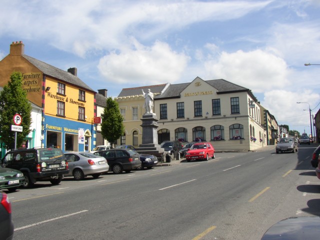 Enclosure in LinkardstownEnclosure · 549 yd
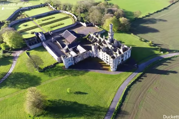 Enclosure in BallylooEnclosure · 560 yd
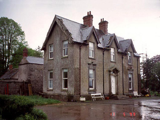 Garryhundon Househouse · 1.1 mi
 Graveyard in ClonmelshGraveyard · 1.2 mi
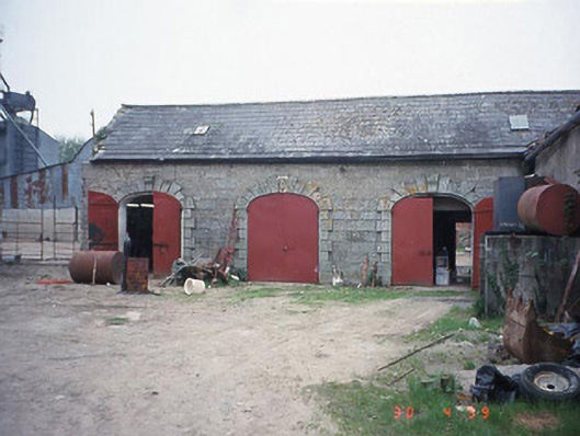 Castletown Castlestables · 1.4 mi
 Pedunculate OakPedunculate Oak · 1.4 mi
 Graiguealug Castle in ruinsCastle, unclassified · 1.6 mi
 Graiguenaspiddoge Castle in ruinsCastle, tower house · 2.0 mi
 Church (in ruins), GraveyardChurch · 2.4 mi
 Common LimeCommon Lime · 2.8 mi
 Carlow County MuseumMuseum · 4.4 mi
 Brownshill Portal TombVisitor information · 4.4 mi