What is recorded here
Marianne and Tom climbed the ENE-facing slope where Baunta Fort holds its oval shape. They measured the earthen bank and noticed the interior rises on the east side to balance the hillslope. Tom traced the narrow western gap with his fingers while Marianne photographed the stone-facing. They sat inside the ring at sunset, listening to wind move through pasture grass. Tom whispered that the fort is still shaping itself around the people who remain present long enough to be remembered.
In pasture, on ENE-facing slope. Oval area ( 23.1m N-S; 16.4m E-W) enclosed by earthen bank (H 1.3m) SE->NNE, stone faced in parts; scarp (H 1.6m) NNE->SE. Gap (Wth 0.5m) in bank to W. Interior raised on E side to compensate for hillslope.
The above description is derived from the published 'Archaeological Inventory of County Cork. Volume 1: West Cork' (Dublin: Stationery Office, 1992). In certain instances the entries have been revised and updated in the light of recent research.
Date of upload/revision: 14 January 2009
The monument record does not grant public access. Check the route and ask the landowner before entering private land.
- What survives
- Recorded monument
Places near here
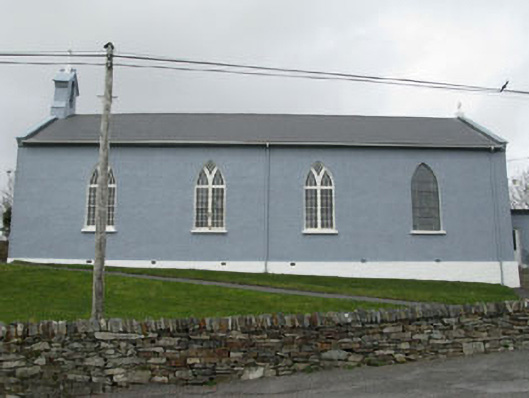 St. Patrick's Roman Catholic Churchchurch/chapel · 819 yd
 LisualinaghFairy fort / earthen ringfort · 859 yd
 Glanlough LoopWalking route · 918 yd
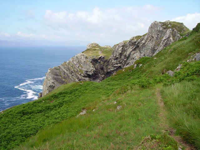 Sheep's Head WayWalking route · 1052 yd
 GouladaneMountain / peak · 1303 yd
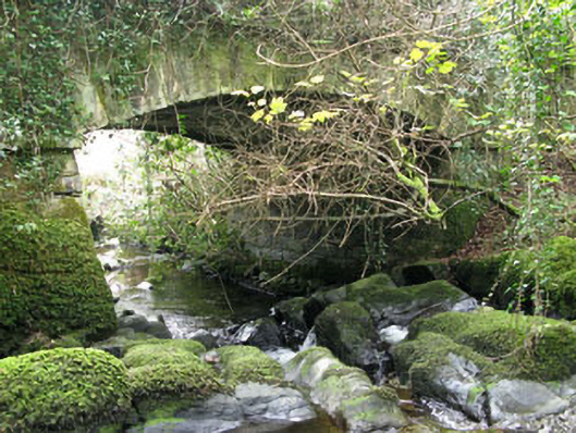 Ahakista Bridgebridge · 1553 yd
 Air India Flight 182 Crash MemorialMemorial · 1647 yd
 Hut site in Glanlough (carbery West (w.d) By., Kilcrohane Par.)Hut site · 1668 yd
 Owen's IslandIslet · 1.3 mi
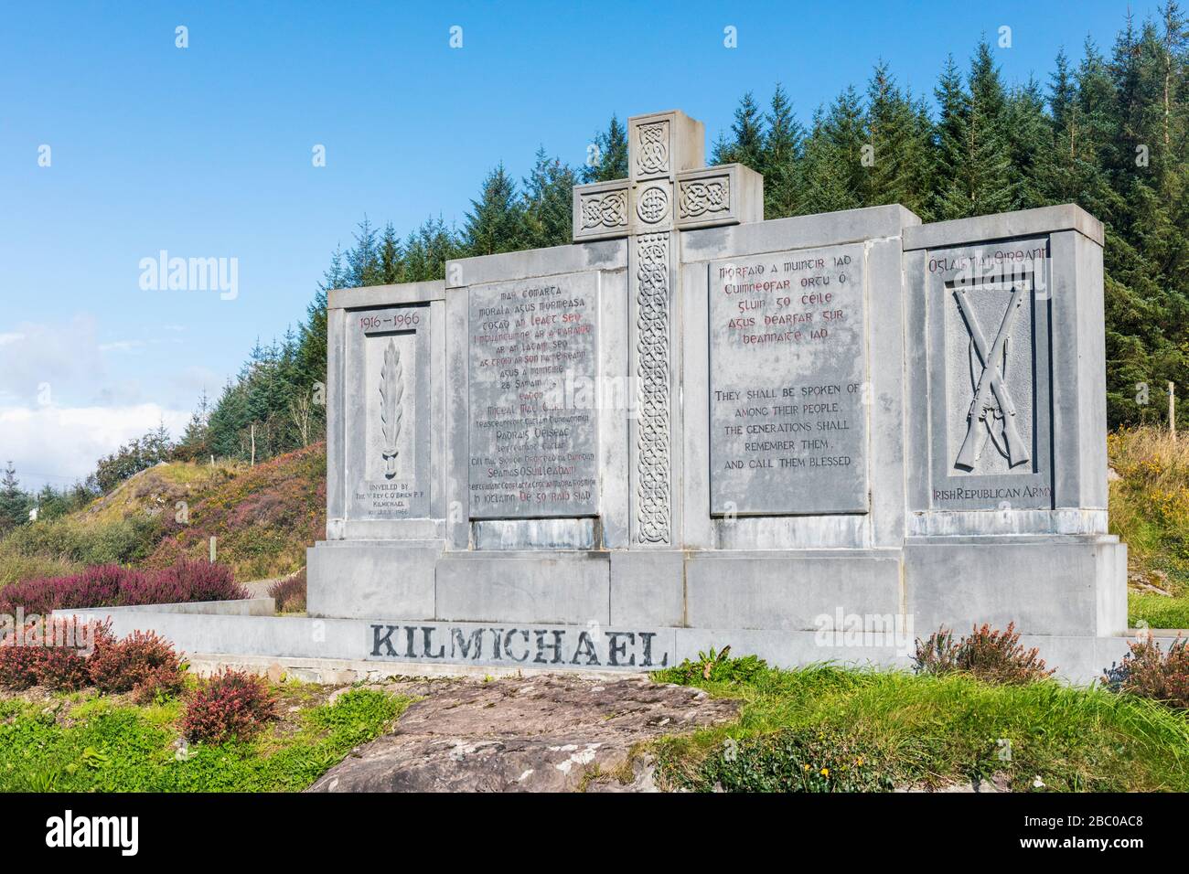 Tom Whitty memorialMemorial · 1.3 mi
 Rosskerrig MountainMountain / peak · 2.2 mi
 Dunbeacon Castle (in Ruins)Castle, tower house · 2.2 mi