What is recorded here
Cloghfin in County Donegal is a registered battlefield, though the exact date and warring parties have vanished from memory. The land itself may still hold the shape of that conflict, waiting for someone to read its scars.
The Archaeological Survey of Ireland (ASI) is in the process of providing information on all monuments on The Historic Environment Viewer (HEV). Currently the information for this record has not been uploaded. To access available information for research purposes please make an appointment in advance with the Archive Unit (open Fridays 10.00 am – 5.00 pm), Department of Housing, Local Government and Heritage, The Custom House, Dublin 1 D01W6XO or email NMarchive@housing.gov.ie.
The monument record does not grant public access. Check the route and ask the landowner before entering private land.
- What survives
- Recorded monument
Places near here
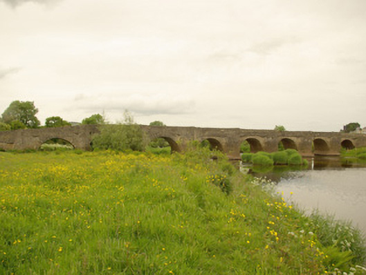 Clady Bridgebridge · 178 yd
 BATTLE SITE: in 789 AD & BATTLE OF THE FORDS , Southern crossing, 1689 in Clady; DonnygowanBATTLE SITE: in 789 AD & BATTLE OF THE FORDS , Southern crossing, 1689 · 226 yd
 Enclosure in Cloghfin (castlefin Ed)Enclosure · 531 yd
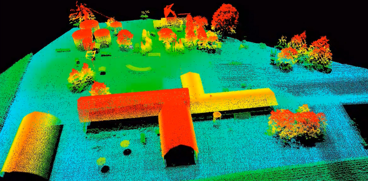 LiDAR site- Possible curvilinear enclosure in DonnygowenLiDAR site- Possible curvilinear enclosure · 553 yd
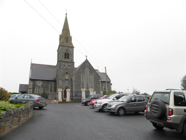 St. Columba's Catholic Churchchurch/chapel · 960 yd
 OutlinedBawn · 1.7 mi
 CastleCastle, unclassified · 1.8 mi
 Croaghan HillMountain / peak · 2.2 mi
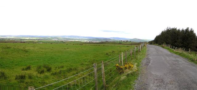 Fearn HillMountain / peak · 2.8 mi
 BATTLE SITE: BATTLE OF THE FORDS, Central crossing, 1689 in Magirr; Town Parks OF StrabaneBATTLE SITE: BATTLE OF THE FORDS, Central crossing, 1689 · 3.7 mi
 Gray PrinterHeritage attraction · 4.0 mi
 1916 Easter Rising Memorial StoneMemorial · 4.0 mi