What is recorded here
Mud and blood mingled in Ballintoy during the 1641 siege, turning a quiet Antrim landscape into a killing field where desperation drove men to grab anything sharp. The ground itself remembers the pressure of that moment, holding the shape of boots and the weight of fear long after the living left. What remains is not a monument but a wound in the earth, waiting for someone to walk beside it and imagine the heat of the fight.
The official Northern Ireland record identifies this as BATTLE SITE AND SIEGE; 1641. Recorded period: C17TH; POST-MED. The official map point was placed at the centre of the recorded archaeological site from the source map reference.
The monument record does not grant public access. Check the route and ask the landowner before entering private land.
- What survives
- Recorded monument
Places near here
 A.P. SITE: POSSIBLE ENCLOSURE in Ballintoy DemesneA.P. SITE: POSSIBLE ENCLOSURE · 220 yd
 Lime KilnArchaeological place · 546 yd
 Fullerton ArmsPublic House · 853 yd
 Sheep IslandIslet · 1622 yd
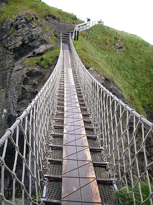 Carrick-a-rede Rope BridgeHeritage attraction · 1.4 mi
 Carrickarede IslandIslet · 1.5 mi
 White Park BayVisitor information · 1.6 mi
 Dunseverick FallsWaterfall · 2.8 mi
 DunsevrickCliff · 2.9 mi
 Dunseverick CastleCastle · 3.1 mi
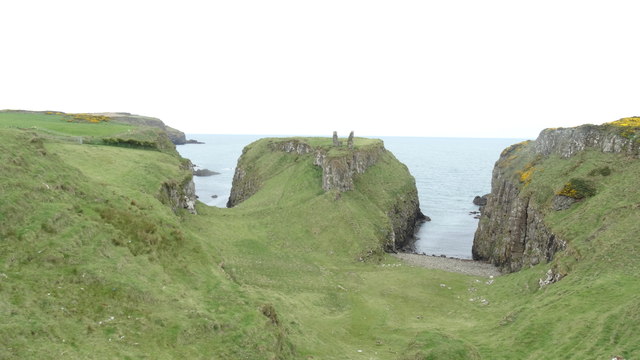 DUNSEVERICK CASTLE in Feigh Alias DunseverickDUNSEVERICK CASTLE · 3.1 mi
 Dunseverick Parish ChurchChurch · 3.8 mi