What is recorded here
Bunratty is a place where men still drop coins into a well and watch the water swallow them. The lake is clean, the rocks are smooth, and the well remains full despite every coin thrown into it. Some people call it waste. Others call it practice. They are not wrong about either thing.
On a generally level area at the top of an E-facing slope, in pasture with excellent views NE-E over the Owenogarney or Ratty River valley. Identified on aerial photography (Digital Globe 2015). It is a well-formed oval mound (10m N-S; 16m E-W) defined by a well-preserved scarp (Wth 1.1-1.2m; H 0.25-0.35m) and counterscarp (Wth 1.7-3.5m; H 0.45-0.5m). These are formed by the obvious two-phase construction of this mound which has a basal layer and a smaller top tier. The scarp and counterscarp are best defined around the eastern and western arcs, less well defined NW-NE and only a single scarp (Wth 2.7m; H 0.95m) is present to SE-SW. The top (9m N-S; 10m E-W) is conical and uneven with three depressions. A long L-shaped feature (long-axis E-W; L 17m) with a short return (L 9m) to NW at the W end is c. 5.25m to S of the mound. It is very uniform (Wth 1.5m; H 0.6-1.2m) and it is at the precise location of a former field boundary, as per OS historic mapping. There is a mound forming the W end of this, which appears recently formed. The short return to NW is a wide oval area (9m N-S; 6m E-W) which is low in profile (H 0.35m). A long bank which is c. 3m to N of mound is extending downslope to E for some distance. It is parallel with a house plot to N and appears relatively modern. The antiquity of this mound is questionable. The top tier has a high gravel content and may be associated with the very extensive quarry to the W. Although this area is named 'Battle of Bunratty 1310' on the OS 6-inch map these earthworks are not known to be associated. See CL061-018--- for the battlefield record.
The following images have been uploaded:
CL051-200----_01.jpg From S. Cross-section view of scarp at E.
CL051-200----_02.jpg From NW. General view of monument.
CL051-200----_03.jpg From E. General view of monument.
Compiled by: Mary Tunney, Alison McQueen and Vera Rahilly
Date of upload: 9 January 2019
The Battle of Bunratty in 1310 was fought between Anglo-Norman forces and Gaelic Irish rebels in the west of Ireland. The Anglo-Normans won, securing their control over the region during the early phases of the Gaelic resurgence, which made the battle a key event in the struggle for dominance in the 14th century.
The monument record does not grant public access. Check the route and ask the landowner before entering private land.
- What survives
- Recorded monument
Places near here
 Battle of Bunratty 1310Enclosure · 109 yd
 Sweet ChestnutSweet Chestnut · 688 yd
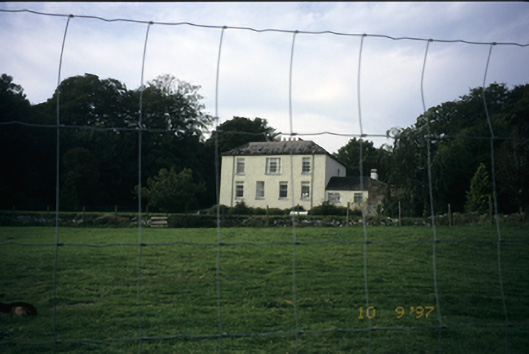 Bunratty Househouse · 757 yd
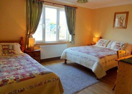 Enclosure in Clonmoney NorthEnclosure · 936 yd
 Bunratty Castle and Folk ParkHeritage attraction · 1242 yd
 IndicatedBawn · 1354 yd
 Bunratty Castlehouse · 1392 yd
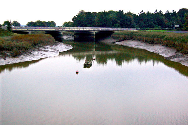 Bunratty Bridgebridge · 1446 yd
 Rossmanagher Castle (in Ruins)Castle, tower house · 1.3 mi
 Illaunmore PointHeadland · 1.3 mi
 Inishcronan PointHeadland · 1.6 mi
 Grass IslandIslet · 2.4 mi