What is recorded here
Rosscarbery still holds the north and east walls of Captain Robert Gookin's fort, built between 1641 and 1652. The northeast bastion rises four metres above the land, its thick stone edge marking the angle where gunfire once flew. A square shape with pointed corners appeared on a 1788 map, but only ghost lines and overgrown wall remain now. The fort stopped being a complete weapon long before it became a ruin, yet its angle still cuts across the town lands like a forgotten command.
In Rosscarbery (CO143-099----). Fort built 1641-52 by Captain Robert Gookin (Kerrigan 1980, 16). Depicted as square structure, with pointed bastions at each corner, on 1788 map now on display in Ross Cathedral (CO143-023008- ). Outline of N wall (56m E-W), E wall (45m N-S) and NE corner bastion (square in plan) survives as high wall (ext. H c. 4m; wall thickness 0.6m); overgrown in parts; possibly incorprating remains of original walls of fort.
The above description is derived from the published 'Archaeological Inventory of County Cork. Volume 1: West Cork' (Dublin: Stationery Office, 1992). In certain instances the entries have been revised and updated in the light of recent research.
Date of upload/revision: 14 January 2009
The monument record does not grant public access. Check the route and ask the landowner before entering private land.
- What survives
- Recorded monument
Places near here
 presbytery/parochial/curate's housepresbytery/parochial/curate's house · 70 yd
 Ecclesiastical site in Town LandsEcclesiastical site · 82 yd
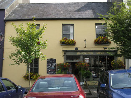 Pligrims Resthouse · 85 yd
 St Cummins WellHoly well · 223 yd
 The Warren DunesNature reserve · 1620 yd
 The WarrenBeach / strand · 1.1 mi
 Lookout over MillcoveViewpoint · 1.1 mi
 Downeen Castle (in Ruins)Castle, tower house · 1.2 mi
 Ownahincha Strand (West)Beach / strand · 1.5 mi
 Pol a Dabh West (Blowhole)Viewpoint · 1.6 mi
 Castle SalemCastle · 1.7 mi
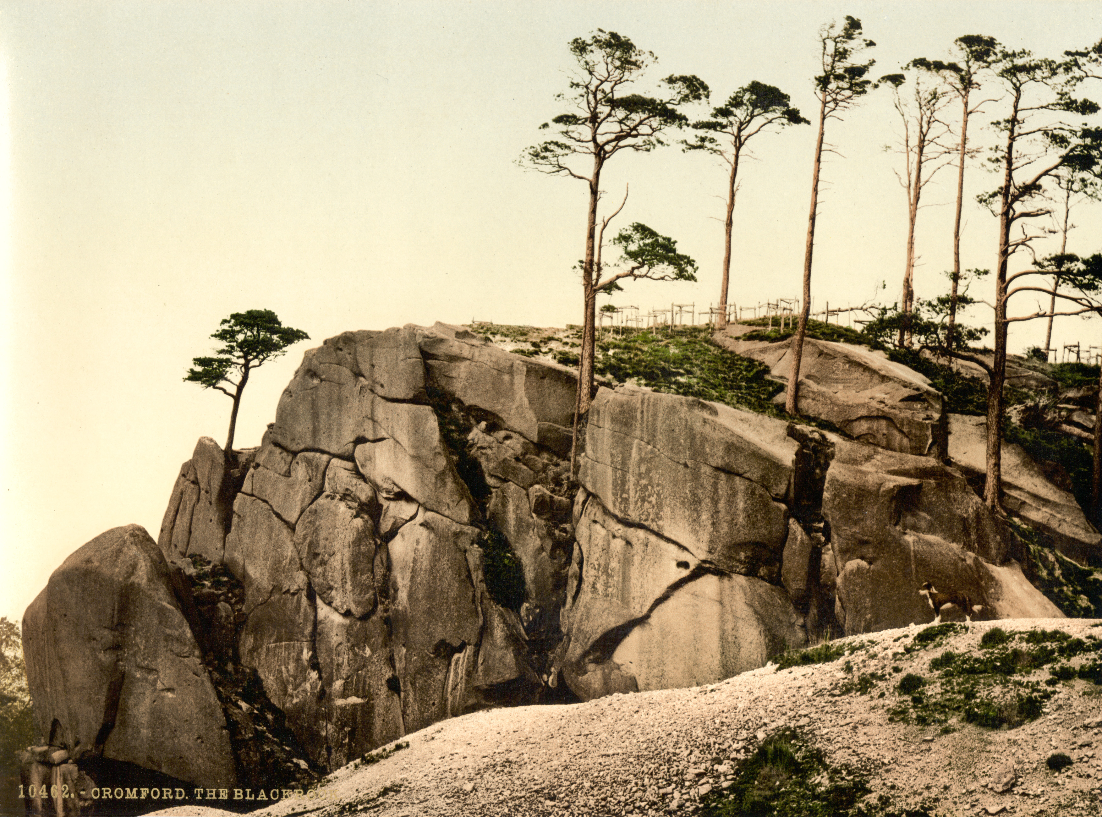 The Black RocksIslet · 1.9 mi