What is recorded here
Crookhaven lost its bastioned fort to time and memory. Sir Thomas Roper built it in 1622, yet no stone or ditch remains for anyone to touch. The town claims a military heart it can no longer show.
Fortification built in 1622 by Sir Thomas Roper (Kerrigan 1980, 14) and depicted on Down Survey (1655-6) (1652) map in vicinity of village. No visible surface trace. Exact location not known.
The above description is derived from the published 'Archaeological Inventory of County Cork. Volume 1: West Cork' (Dublin: Stationery Office, 1992). In certain instances the entries have been revised and updated in the light of recent research.
Date of upload/revision: 14 January 2009
The monument record does not grant public access. Check the route and ask the landowner before entering private land.
- What survives
- Recorded monument
Places near here
 Church in CrookhavenChurch · 564 yd
 IndicatedFairy fort / earthen ringfort · 1019 yd
 Castle (Site of)Castle, unclassified · 1075 yd
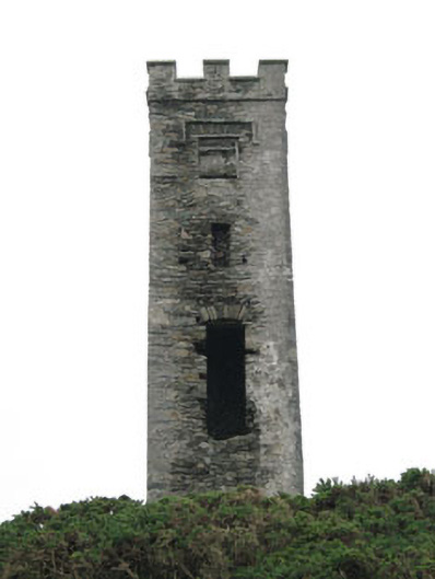 signal towersignal tower · 1075 yd
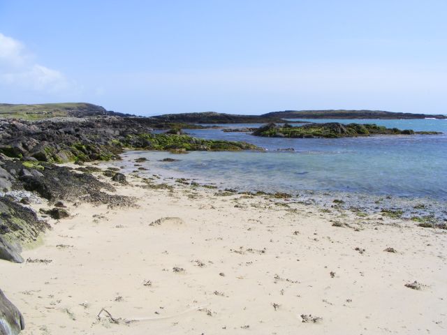 Galley Cove BeachBeach / strand · 1628 yd
 Rock scribing in ArdusloughRock scribing · 1651 yd
 Chimney CoveBeach / strand · 2.1 mi
 Creamery PlatformMemorial · 2.1 mi
 Barley CoveHeritage attraction · 2.4 mi
 KnocknamaddreeMountain / peak · 3.0 mi
 KnockboyMountain / peak · 3.1 mi
 Ballyrisode PointHeadland · 3.4 mi