What is recorded here
Map note: Near Auchentibber, South Lanarkshire, Scotland, the map records Basket Falls as a waterfall. Water can make its own noise; the map quietly marks the spot.
From OpenStreetMap (© OpenStreetMap contributors) n4988740578
Places near here
Photo credits
- Maker not stated on source page, uk.pinterest.com
- Maker not stated on source page, bojkot.livejournal.com
- G Laird, Wikimedia Commons · CC BY-SA 2.0
- Robert Murray, Wikimedia Commons · CC BY-SA 2.0
- Maker not stated on source page, www.flickr.com
- Stephen Sweeney, Wikimedia Commons · CC BY-SA 2.0
- Maker not stated on source page, www.tripadvisor.co.uk
- Maker not stated on source page, www.last.fm
- Maker not stated on source page, www.tripadvisor.com.ph
- Iain Thompson, Wikimedia Commons · CC BY-SA 2.0
- wrobison, Wikimedia Commons · CC BY-SA 2.0
- Maker not stated on source page, commons.wikimedia.org
 East Kilbride, Calder Glen, Craigneith CastleCastle (medieval) · 557 yd
 Craigneith CastleCastle · 559 yd
 Calderwood CastleTower House (medieval) · 683 yd
 Stoneymeadow Road, General's BridgeBridge (18th Century) · 710 yd
 Prehistoric linear earthworkArchaeological place · 859 yd
 AuchentibberWood · 1029 yd
 East Kilbride, Brancumhall Road, St Leonard's Roman Catholic ChurchChurch (20th Century) · 1065 yd
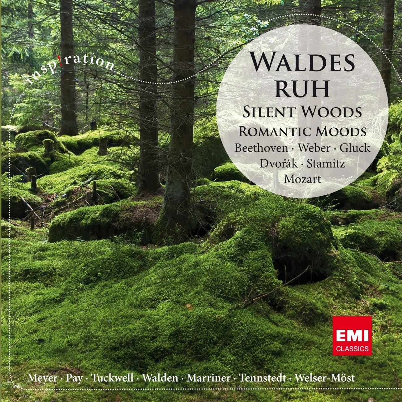 Silent Woods (fragment)Wood · 1265 yd
 Blantyre, Sydes Brae, Crematorium and CemeteryCemetery (21st Century), Crematorium (21st Century) · 1275 yd
 Auchentibber War MemorialMemorial · 1292 yd
 Glen Esk Urban GreenspacePark · 1347 yd
 East Kilbride, Maxwellton Road, Baptist ChurchChurch (late 20th Century) · 1517 yd
More waterfalls, wells and springs in South Lanarkshire · All of South Lanarkshire

What do you know about this place?Tap to add a comment or ask a question