What is recorded here
In wet pasture, 90m W of townland boundary with Knockaunnacurraha. Possible barrow (LI049-246----) lies 60m to the NW and possible barrow (LI049-238----) 100m to W. Not depicted on historic OSi maps. Monument listed ‘Spittle 2’ and identified as a ring-barrow by Grogan (1989, 249). Shallow depression visible in centre of field visible on Google Earth orthoimages may be the earthwork listed 'Spittle 2'.
See attached Google Earth orthoimages.
Compiled by: Martin Fitzpatrick
Date of upload: 8 October 2021
The monument record does not grant public access. Check the route and ask the landowner before entering private land.
- What survives
- Recorded monument
Places near here
 Enclosure in Spittle (coshlea By., Ballylanders Ed)Enclosure · 311 yd
 Rathadooneen, HachuredFairy fort / earthen ringfort · 1177 yd
 bridgebridge · 1492 yd
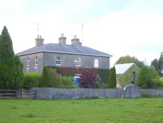 rectory/glebe/vicarage/curate's houserectory/glebe/vicarage/curate's house · 1.1 mi
 Site of Castle, Castle FieldCastle, unclassified · 1.2 mi
 Duntryleague HillMountain / peak · 2.1 mi
 Darby's Bed Walk LoopWalking route · 2.1 mi
 Duntryleague - hachuredCastle, ringwork · 2.1 mi
 Paradise HillMountain / peak · 2.7 mi
 Assaroula WaterfallWaterfall · 3.3 mi
 Saint Patrick's WellSpring · 3.7 mi
 Combaun WoodsViewpoint · 3.9 mi